St. Louis is in for a punishing Thursday — temperatures climbing to near 96°F with a heat index as high as 104°F, followed by a significant severe weather threat tonight. Limit outdoor exposure this afternoon, carry an insulated water bottle, and have a plan for tonight’s storms.
Today’s Setup
A stalled cold front to our north has been drawing deep south-southwesterly flow across the region all week, loading the atmosphere with heat and humidity. The National Weather Service notes dew points in the low-to-mid 70s and surface-based CAPE values of at least 3,000 J/kg ahead of that front. A few showers linger north of I-70 through early morning but should fade before 9 AM CT. After that, expect mostly sunny skies and building afternoon heat along the riverfront, in south city, and out through Chesterfield and St. Charles County.
Severe Weather Risk Tonight — Take This Seriously
This is the headline: the National Weather Service is forecasting scattered strong to severe thunderstorms this afternoon and evening, capable of tornadoes, large hail, and damaging wind gusts. The main window runs from mid-afternoon through roughly 1 AM CT Friday as the cold front surges southeast and an upper-level shortwave provides the lift. The Weather Prediction Center has a Slight Risk of Excessive Rainfall in effect, with rainfall rates up to 2–4 inches per hour possible in the strongest cells. Flash flooding is a real concern near low-lying areas along the Meramec River corridor and parts of North County.
Charge your devices. If you want a buffer against overnight power outages, the DARAN 288Wh Power Station is just $90 for Prime members — a solid storm-prep pickup.
Heads up for anyone planning to attend the Jamey Johnson - Traveling Truebadour Tour at Chesterfield Amphitheater tonight (June 11) — that’s an outdoor show sitting right in the storm window. Check with the venue before you leave and watch radar closely. Find tickets on StubHub if you’re still deciding.
Best Window To Be Outside
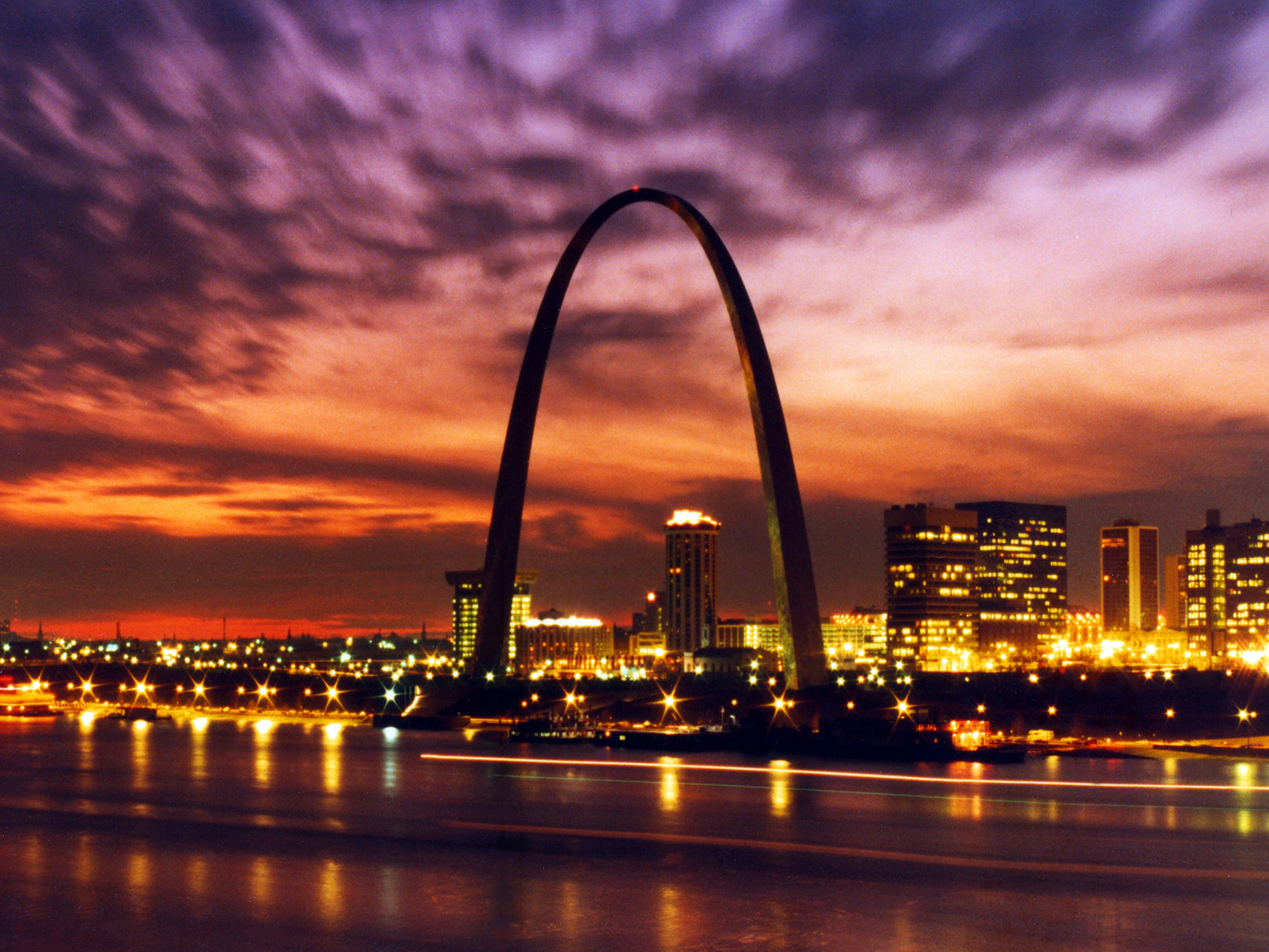
Get anything outdoor done before 10 AM CT — a walk through Forest Park, morning mowing, or a run near the Gateway Arch grounds. After that, heat index values near 104°F make prolonged outdoor activity genuinely dangerous. South winds gusting to 29 mph this afternoon won’t offer much relief.
Friday Is Your Reward
Once the storms clear tonight, Friday brings a gorgeous reset: sunny, near 86°F, northwest wind around 5 mph with no rain chance. That’s a green-light day for golf, the Katy Trail, or any outdoor errand you pushed off. Check out outdoor gear deals if you’re gearing up for a summer weekend.
Weekend Events: Know Before You Go
Megan Moroney: The Cloud 9 Tour lands at Enterprise Center on Saturday, June 13 — that’s indoors, so storm concerns don’t apply. Grab a Megan Moroney t-shirt or Megan Moroney hat for the show, and Get tickets on SeatGeek if you still need them. The National Weather Service notes a low chance for strong storms Saturday, so outdoor venues like Hollywood Casino Amphitheater (Sammy Hagar, June 13) are worth monitoring as the weekend gets closer.
Cardinals fans, the St. Louis Cardinals vs. San Diego Padres series opens June 15 at Busch Stadium under what looks like favorable conditions. Pick up Official team gear on Fanatics before you head downtown.
Dinner Tonight: Skip the Oven
It’s too hot to cook — go with cold Thai noodle salad, smoothie bowls, or a build-your-own wrap bar. Blend a big batch with a high-powered blender and pour into an insulated tumbler 30oz to keep things cold. Need ingredients? You can order groceries on Amazon and have everything for tonight’s dinner delivered to your door.
Next Few Days
Friday: sunny and 86°F — genuine relief. Saturday: similar warmth, low storm chance worth watching. Early next week stays seasonable and cooler than this week’s peak. Enjoy the break while it lasts; the St. Louis weather forecast will keep you updated as the pattern evolves.
