St. Louis is starting Monday under a stormy sky, with showers and thunderstorms expected throughout the day and a high near 85°F — keep a packable rain jacket close and stay alert for flash flood alerts across the metro.
Today’s Storm Setup
The National Weather Service in St. Louis has a Flash Flood Watch in effect today. A low-level jet and deep atmospheric moisture — precipitable water hovering near 2 inches — will fuel widespread showers and thunderstorms from morning through early afternoon. The most active window runs roughly 9 AM to 1 PM CT, when storm coverage and intensity are expected to increase. Rainfall rates capable of producing rapid water rises are possible in slow-moving, training storms.
By tonight, storm chances ease to around 40% with a low near 72°F and southwest winds at 3 to 8 mph — still unsettled, but improving.
Flash Flood and Severe Weather Risk
The Weather Prediction Center has placed the Middle Mississippi Valley — including the St. Louis metro — in a Slight Risk for excessive rainfall today. Do not drive through flooded streets. Avoid low-lying areas near the River Des Peres and any neighborhood known to pool quickly. Even a few inches of moving water can sweep a car off the road.
The National Weather Service also notes a low but real chance of isolated damaging wind gusts and a tornado or two this afternoon, mainly across southeastern Missouri and southwestern Illinois as afternoon heating intensifies. Keep your phone charged, notifications on, and know where you’ll shelter if a warning is issued.
Best Window To Be Outside
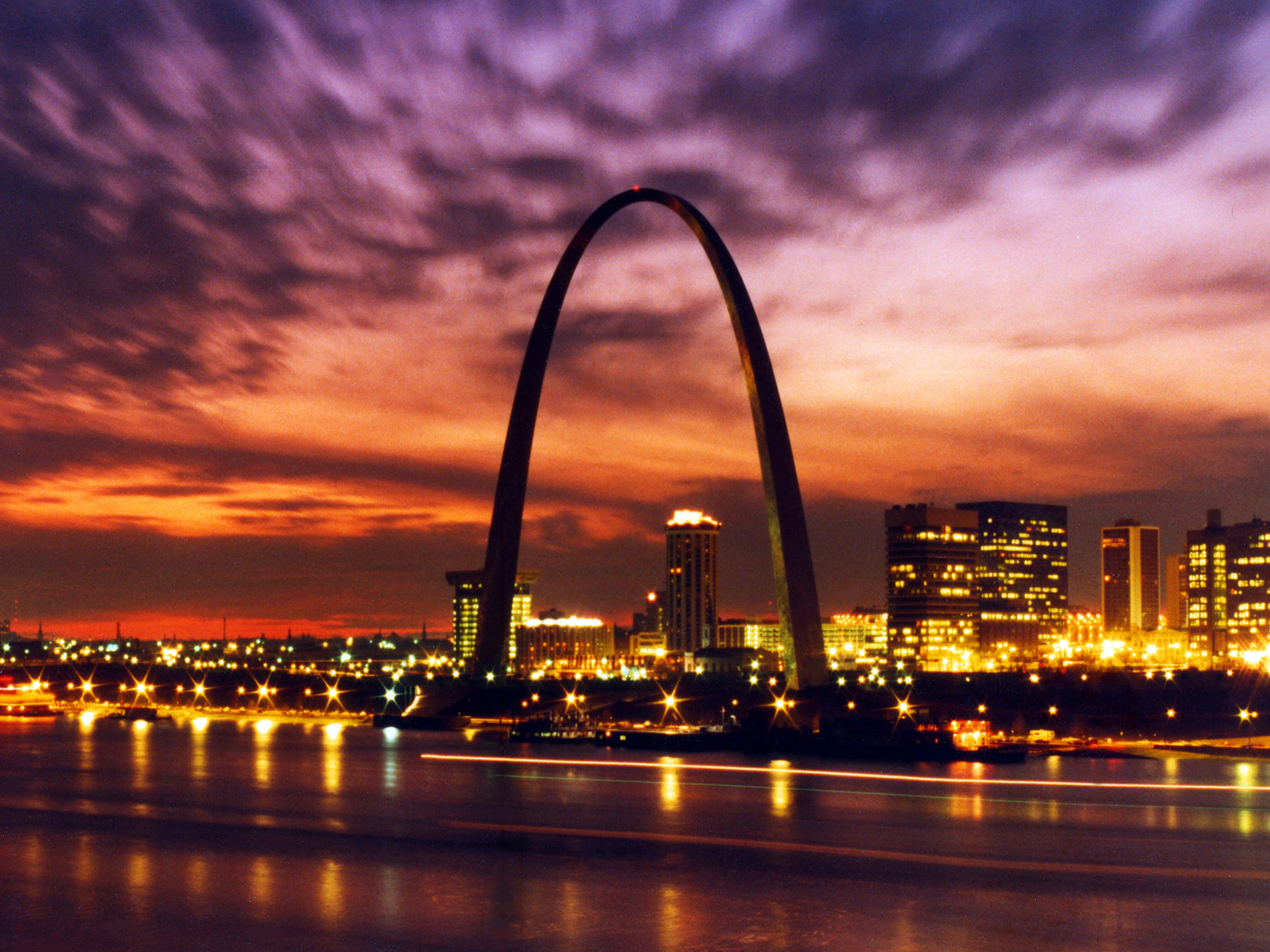
Your best outdoor window is before 9 AM CT — and even then, a storm or two is possible. After that, Forest Park, Tower Grove Park, and the Gateway Arch grounds will be thoroughly soaked and storm-prone. Hold off on mowing, grilling, or any river activities today.
What To Bring
A packable rain jacket is your most important accessory today. Skip outdoor dining plans and reschedule anything that depends on dry skies.
Events This Week
The event calendar heats up nicely as conditions improve. Megan Moroney: The Cloud 9 Tour comes to the Enterprise Center on Saturday, June 13 — indoors, so rain won’t be a factor. Pick up a Megan Moroney t-shirt, Megan Moroney hoodie, or Megan Moroney hat before the show. Find tickets on StubHub or Get tickets on SeatGeek.
Looking ahead, the St. Louis Cardinals host the San Diego Padres at Busch Stadium on June 15. Conditions should be more comfortable by then — grab Official team gear on Fanatics to rep the Cardinals properly.
Rainy Day Dinner
Today was made for a slow cooker. Load a programmable slow cooker with chili or beef stew before the noon storms hit and let it run while the rain does its thing. An enameled cast iron Dutch oven works beautifully for a big pot of tomato soup on the stove too. Need ingredients? You can order groceries on Amazon and have everything for tonight’s dinner delivered to your door.
Next Few Days
Brace yourself — a significant heat wave is on the way. Tuesday climbs to near 93°F with a heat index as high as 109°F, and the National Weather Service expects heat index values between 100 and 105°F to persist through at least Wednesday. That’s dangerous heat for early June, even by St. Louis standards. Limit strenuous outdoor activity during peak afternoon hours, stay hydrated, and check on neighbors who may not have air conditioning.
Keep an eye on the St. Louis weather forecast for heat advisory updates as the week develops, and browse outdoor gear deals if you need to stock up before the heat settles in.
