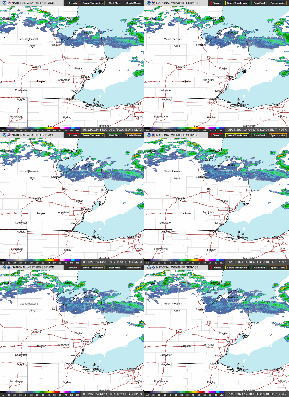
Detroit is running mostly cloudy and warm today with a high near 84°F, and while the morning stays mostly dry, the National Weather Service says a slight chance of showers and thunderstorms arrives between 2 PM and 4 PM ET before coverage increases into the evening — so plan outdoor errands for the first half of the day.
Today’s Setup
A low pressure system tracking from central Illinois into the Ohio Valley is steering this weekend’s pattern. NWS Detroit/Pontiac forecasters note a deep layer of dry air aloft has kept most of the morning activity to light showers, mainly favoring the Saginaw Valley, while metro Detroit stays drier until better moisture moves in later today. Temperatures actually fall through the afternoon, dropping to around 81°F by evening as clouds and rain chances build. Winds stay light out of the east at 2 to 9 mph.
Best Window To Be Outside
Morning through early afternoon is your best bet — before the 2-4 PM window when showers and storms become more likely. If you’re headed to Belle Isle or the Riverfront for a walk or bike ride, get out early. By tonight, the chance of showers and thunderstorms jumps to 80%, with a low around 67°F and east-northeast wind near 9 mph, gusting as high as 20 mph.
Flood Risk Tonight Into Sunday
This is the part to watch. The Area Forecast Discussion flags heavy rainfall likely tonight and Sunday morning somewhere over northern Indiana, southeast Lower Michigan, or northwest Ohio — and forecasters say that axis could stretch as far north as Ann Arbor to Port Huron, raising flooding concerns especially in urban, poor-drainage areas. The Weather Prediction Center has a Slight Risk of excessive rainfall posted for the broader Midwest today. Sunday itself brings showers and thunderstorms before 8 AM, then more through the day, with a high near 78°F falling to 76°F, NE wind 8 to 12 mph gusting to 20 mph, and rainfall totals of a half to three-quarters of an inch possible. If you’re in a flood-prone stretch, avoid driving through standing water and keep an eye on local alerts.
What To Wear Or Bring
Humidity climbs as the moisture moves in, so a talc free body powder isn’t a bad call for anyone spending the day outside. Keep a Stanley quencher tumbler filled and handy, and if you’re near standing water after the rain, mosquito repellent spray is worth packing. With gusts forecast to 20 mph tonight and Sunday, secure anything loose in the yard — a trampoline anchor kit is smart insurance before the wind picks up.
Concerts And The Week Ahead
Outdoor concertgoers should plan around the timing above: Moneybagg Yo’s Feed The Streetz show at The Aretha Franklin Amphitheatre and the Margaritaville-branded Coral Reefer Band show at Pine Knob Music Theatre both happen tonight, right as storm chances ramp up — bring a poncho, not just an umbrella. Looking further out, Foo Fighters play Ford Field on August 6, and Chris Stapleton’s All-American Road Show hits Ford Field on August 8; grab a Foo Fighters t-shirt or Chris Stapleton hoodie now while you wait for updated gameday forecasts closer to those dates.
Dry weather returns Monday — a good day to catch up on mowing or check out the EGO Power+ Battery Deal before the yard work window closes again, since NWS Detroit/Pontiac says it may turn unsettled once more later next week with more shower chances. Temperatures overall stay close to average for early August.
With rain likely tonight, it’s a good night to stay in — a slow cooker chili or beef stew is hard to beat. A programmable slow cooker or enameled cast iron Dutch oven makes it easy. Need ingredients? You can order groceries on Amazon and have everything for tonight’s dinner delivered to your door.
For the latest updates, check the Detroit weather forecast or browse outdoor gear deals before the next round of storms rolls in.