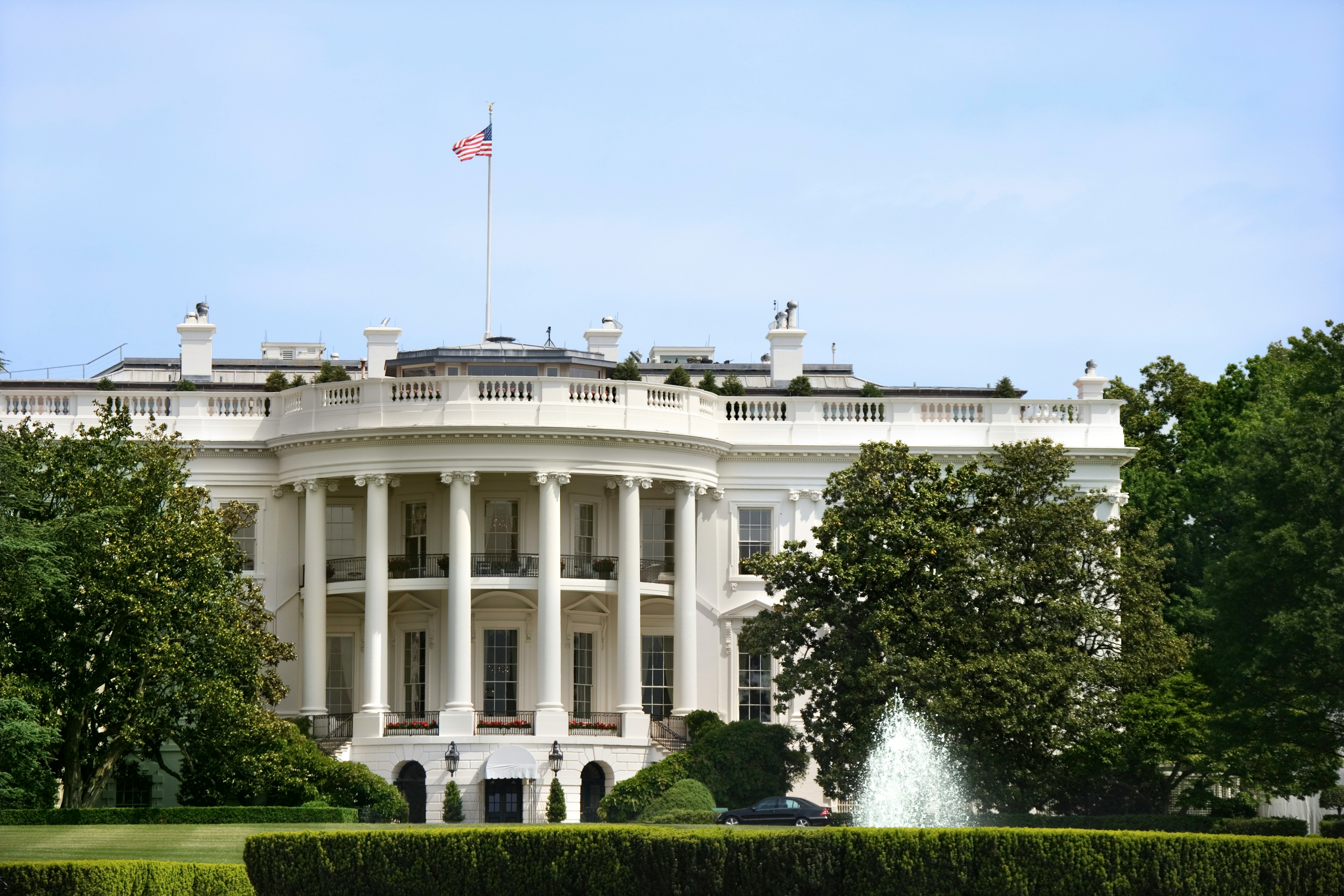
Washington, DC opens Wednesday with mostly sunny skies and a high near 88°F — a nearly perfect midsummer day before a significant storm system arrives Thursday.
Today’s Setup
Southwest winds of just 2 to 8 mph and a 3% chance of rain leave the entire day wide open. The National Mall, Rock Creek Park, and the Tidal Basin are all in excellent shape through the afternoon. That said, heat on stone plazas and pavement amplifies quickly — bring an insulated water bottle and hydrate early. Tonight cools to a low around 71°F with partly cloudy skies and south winds gusting up to 21 mph, breezy but manageable for evening plans.
Best Window To Be Outside
This morning through early afternoon is your golden window before midday heat peaks. Evenings will be warm but workable.
Tonight at Nationals Park: The Washington Nationals host the Kansas City Royals on June 17 under near-ideal conditions — warm, calm, and dry. It’s a great night to be in the seats. Wear your Washington Nationals jersey and enjoy what may be the last comfortable evening before Thursday changes everything. Get tickets on SeatGeek if you still need them.
Also tonight at The Anthem: CA7RIEL & Paco Amoroso bring their FREE SPIRITS WORLD TOUR to DC. The Anthem is fully indoors — no weather concerns, just great music. Grab a CA7RIEL & Paco Amoroso t-shirt for the show, or Find tickets on StubHub if you’re still deciding.
Thursday Storm Threat — Plan Ahead
Thursday is the big story this week. A strong low-pressure system tracking northeast will push a cold front across the DC metro through the day. The National Weather Service forecasts a high near 93°F with southwest winds gusting up to 30 mph ahead of the front — hot, humid, and breezy. NWS forecasters have flagged a Slight Risk for Severe Thunderstorms Thursday afternoon through Thursday night, with damaging winds as the primary threat.
Timing: a slight chance of showers begins around 1 PM ET (only 20%), with storm chances climbing to 40% Thursday night. Move any grilling or yard work to today. Secure your outdoor furniture covers before Thursday morning.
Fire and Wind Safety This Week
Gusts building ahead of Thursday’s cold front, combined with summer heat and low humidity, create elevated fire danger across the region. Before firing up the grill today, make sure you have a fire extinguisher home within reach. Check that your smoke detector combo pack is tested and working. Keep a fire blanket kitchen accessible in your kitchen. If you’re in the Virginia or Maryland suburbs near wooded areas, a go bag emergency evacuation kit and an N95 respirator mask smoke are smart seasonal preps — dry, windy conditions can turn a small spark serious fast.
For more outdoor gear deals to get through summer storm season, see our latest guides.
Tonight’s Dinner
The warm, low-humidity Wednesday evening is ideal for a light pasta primavera or quick veggie stir-fry — nothing heavy when it’s still near 80°F after sunset. Pick up Amazon Fresh groceries for fresh produce and pantry staples, and you can order groceries on Amazon and have everything at your door in hours.
Next Few Days
Thursday: High near 93°F, Slight Risk for severe thunderstorms, damaging winds the primary threat. Secure anything outdoors Wednesday night. Thursday night: Low near 70°F, 40% chance of thunderstorms, west winds gusting to 24 mph. Juneteenth Friday: The cold front should clear, bringing drier and more comfortable conditions for the holiday. Sunday–Monday: The National Weather Service flags another round of thunderstorm potential returning late Sunday into Monday — worth watching as the holiday weekend wraps up.
