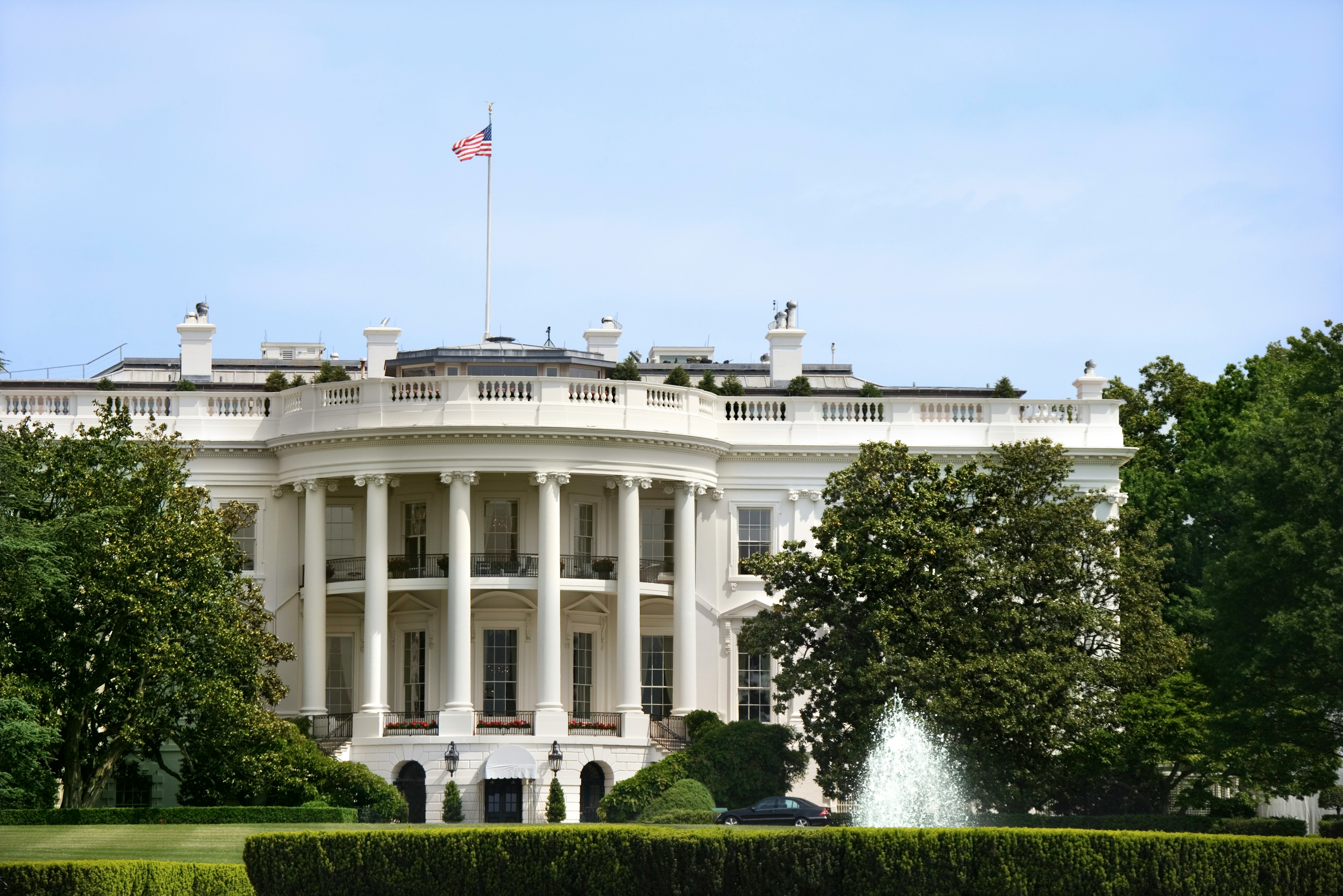
Washington, DC is serving up one of the nicest Saturdays of the young summer — sunny skies and a high near 84°F — so get outside and make the most of it before next week’s heat takes over.
Today’s Setup
High pressure is drifting offshore, pulling a gentle south wind at 1 to 10 mph with gusts up to 18 mph across the region. The National Weather Service puts rain chances at just 3% this afternoon. That’s a green light for the National Mall, Rock Creek Park, the waterfront at The Wharf, or whatever weekend plans you’ve been waiting on. Pollen remains a concern with this warm south flow, so allergy sufferers may want to take a non-drowsy antihistamine before heading out.
Best Window To Be Outside
The full afternoon looks clear and comfortable, but time your evening accordingly. A slight chance of rain showers arrives between 8 PM and midnight tonight — about a 20% chance per the National Weather Service, with less than a tenth of an inch possible. Nothing dramatic, but if you’re out late for a show or dinner, tuck a compact travel umbrella into your bag just in case.
Gameday Weather
Two big outdoor events today. The Washington Nationals host the Baltimore Orioles at Nationals Park, and D.C. United takes on St. Louis CITY SC at Audi Field — both under blue skies all afternoon. Conditions are about as good as it gets for a ballpark day. Wear your Washington Nationals jersey and Washington Nationals fitted cap, slap on some sunscreen, and enjoy. Still need seats? Find tickets on StubHub or Get tickets on SeatGeek before they’re gone.
Tonight’s indoor concert scene is equally busy. Bilmuri’s Kinda Hard Tour hits The Anthem, Andres Cepeda performs at Lincoln Theatre, and David Lee Roth takes the Warner Theatre stage. Emo Night Brooklyn fills 9:30 CLUB. All indoor, so weather is no issue — but temps drop into the mid-60s by midnight, so layer up on the walk home. If you’re heading to The Anthem, a Bilmuri t-shirt is a solid look for the show.
Heat Risk Building This Week
Enjoy today’s 84°F while it lasts. The National Weather Service is flagging near record-breaking heat for early next week. Sunday climbs to near 89°F — still manageable — before Monday reaches near 94°F. Daily afternoon and evening shower and thunderstorm chances continue through Tuesday as energy moves along a frontal boundary. The bigger story arrives Wednesday, when a strong cold front brings a more organized threat for severe thunderstorms. After that, temperatures drop 15 to 20 degrees — so late-week looks like relief. Keep checking the Washington, DC weather forecast as that Wednesday timeline sharpens.
Tonight’s Dinner: Fire Up the Grill
Today’s weather is practically begging for a backyard cookout. Fire up burgers, steaks, or grilled chicken with corn on the cob while daylight holds. An instant-read meat thermometer takes the guesswork out of every cook, and a grill brush and scraper set keeps your grates clean going into the season. Need to stock up? You can order groceries on Amazon and have everything for tonight’s dinner delivered to your door.
Next Few Days
Sunday brings mostly sunny skies and a high near 89°F — still a great day for the Nats game against the Orioles at Nationals Park, though a slight evening storm chance returns after 7 PM. Monday’s near-94°F heat is the headline. Stay ahead of the week with outdoor gear deals and keep Wednesday’s severe weather threat on your radar.
