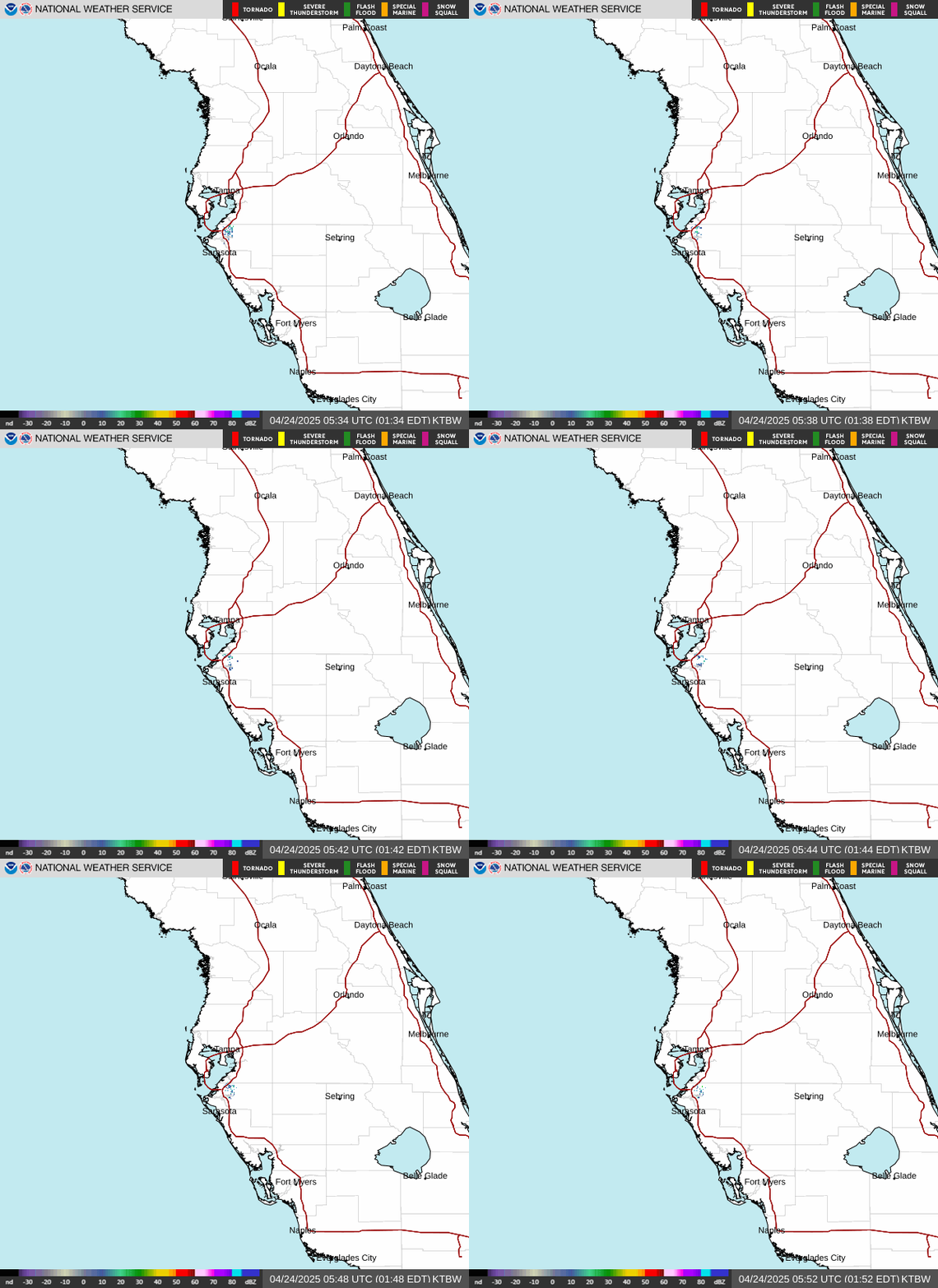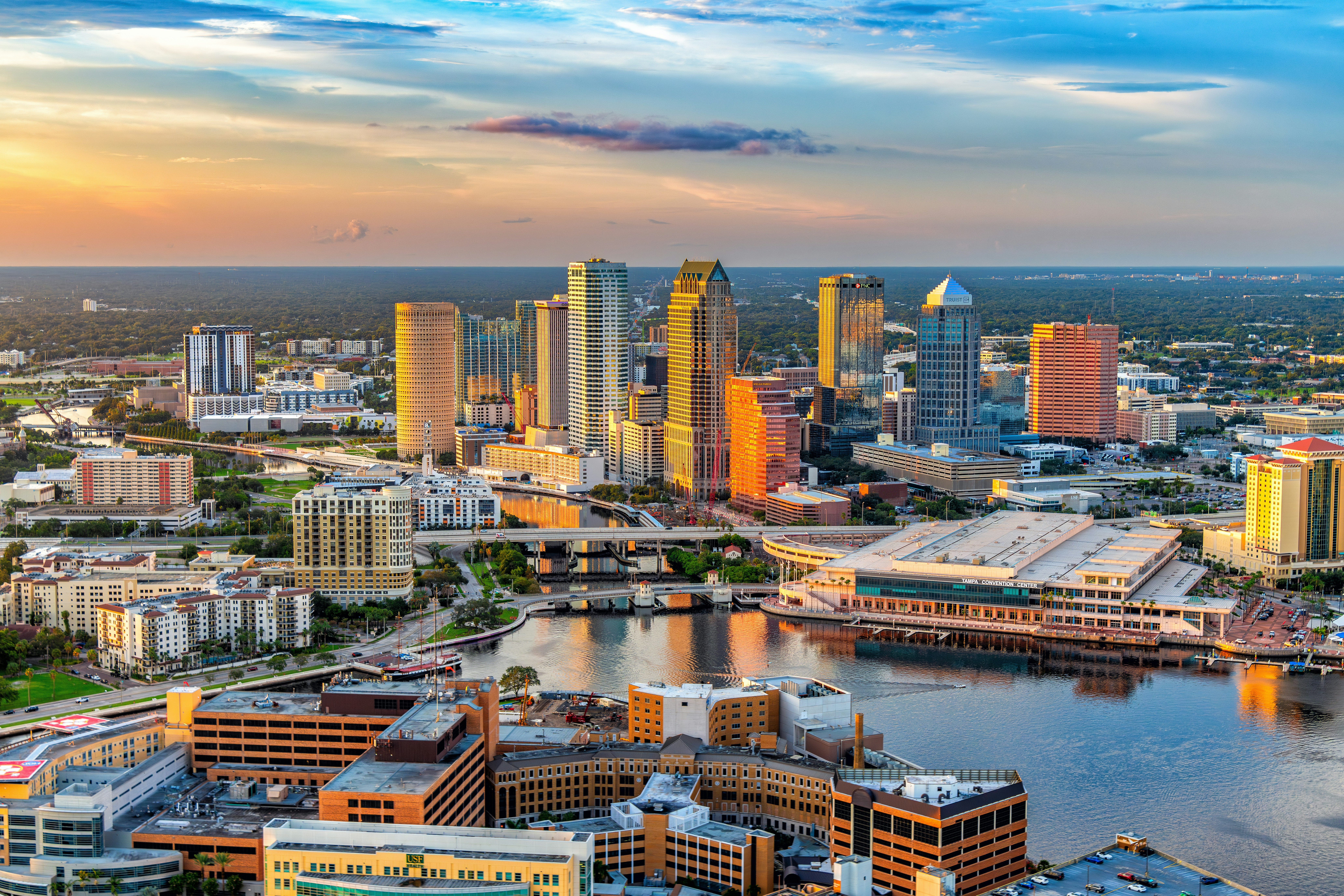
Tampa Bay’s weather today brings a high near 92°F with scattered showers and thunderstorms rolling through in bands, gusty south winds up to 28 mph, and a heat index climbing to 101°F, so plan errands and yard work around the storm cells and steer clear of the beach surf until conditions calm down. Tropical Depression #2, centered about 155 miles south-southeast of Panama City in the eastern Gulf, is keeping the Bay Area on its unsettled east side, and the National Weather Service office in Ruskin is calling for locally heavy rain, frequent lightning, and strong rip currents along area beaches through Tuesday.
Today’s Setup
Expect scattered storms before 10 a.m., another round between 10 a.m. and 1 p.m., more storms 1-3 p.m., a lull, then additional scattered activity into the evening. Temperatures actually fall from 92°F toward 88°F in the afternoon as the storms move through — new rainfall of a quarter to half inch is likely, with chance of precipitation at 70%. South wind holds at 12 to 15 mph with gusts to 28 mph.
Best Window To Be Outside
Your clearest shot is early, before the first band fires up around 9-10 a.m. If you’re walking the Riverwalk downtown or hitting the beach at Clearwater or St. Pete, go at sunrise and be off the sand well before those late-morning cells arrive. Tonight stays unsettled too, with a 40% chance of storms and a low around 78°F.
Rain, Wind And Rip Current Risk
This isn’t your typical summer sea breeze pattern — TD #2 is pumping deep southerly flow into the region, and the NWS specifically flags strong, gusty winds and frequent cloud-to-ground lightning today. The onshore flow is also stacking up dangerous rip currents from Clearwater Beach down through St. Pete Beach, a risk that holds through Tuesday even as rain chances taper off.
What To Wear Or Bring
Light, breathable clothes for the heat index near 101°F, plus a rain layer for the storm bands. If you’re mowing between showers, an EGO Power+ battery deal on a cordless mower makes it easy to knock out the lawn in a quick dry window instead of waiting out a gas engine. Keep the family cool indoors during downpours with a kiddie splash pad set up under cover, or ride out a stormy stretch with a family card game set.
Local Games & Events
Tropicana Field’s dome makes it the smart move if storms have you nervous — the Tampa Bay Rays host the Cleveland Guardians for Devil Rays Retro Snapback night on July 25. Find tickets on StubHub or check Official team gear on Fanatics. That same Saturday, Wrexham AFC takes on Leeds United at Raymond James Stadium. Earlier in the week, Lionel Richie and Earth, Wind & Fire bring their tour to Benchmark International Arena on July 22 — read our Lionel Richie and Earth, Wind & Fire show coverage and grab tickets on SeatGeek, plus a Lionel Richie t-shirt or Lionel Richie hoodie. Daniel Caesar follows at the same arena on July 23; a Daniel Caesar t-shirt makes a good pickup if you’re headed in.
Dinner Tonight
With the heat index near 100°F, skip the stove — a cold Thai noodle salad, build-your-own wrap bar, or smoothie bowls are the move tonight. A high-powered blender handles the smoothie bowls in seconds, and an insulated tumbler 30oz keeps drinks cold through the humidity. Need ingredients? You can order groceries on Amazon and have everything for tonight’s dinner delivered to your door.
Next Few Days
Tuesday still runs warm and stormy, with a high near 93°F, heat index up to 104°F, and scattered storms before 5 p.m. under otherwise mostly sunny skies. The NWS expects TD #2 to pull west away from the peninsula late Tuesday into Wednesday, drying things out and pushing temperatures a few degrees above normal for the rest of the week.