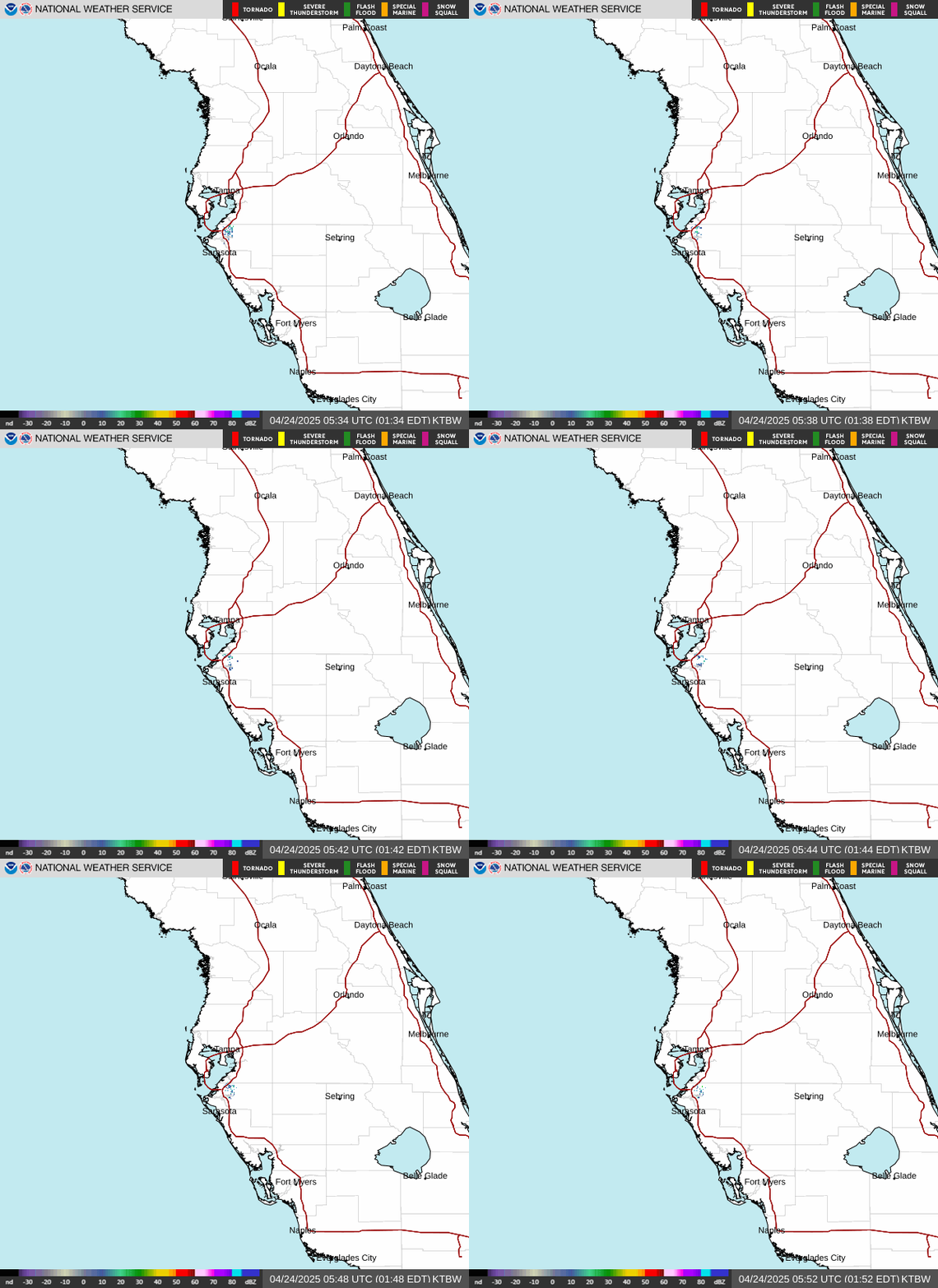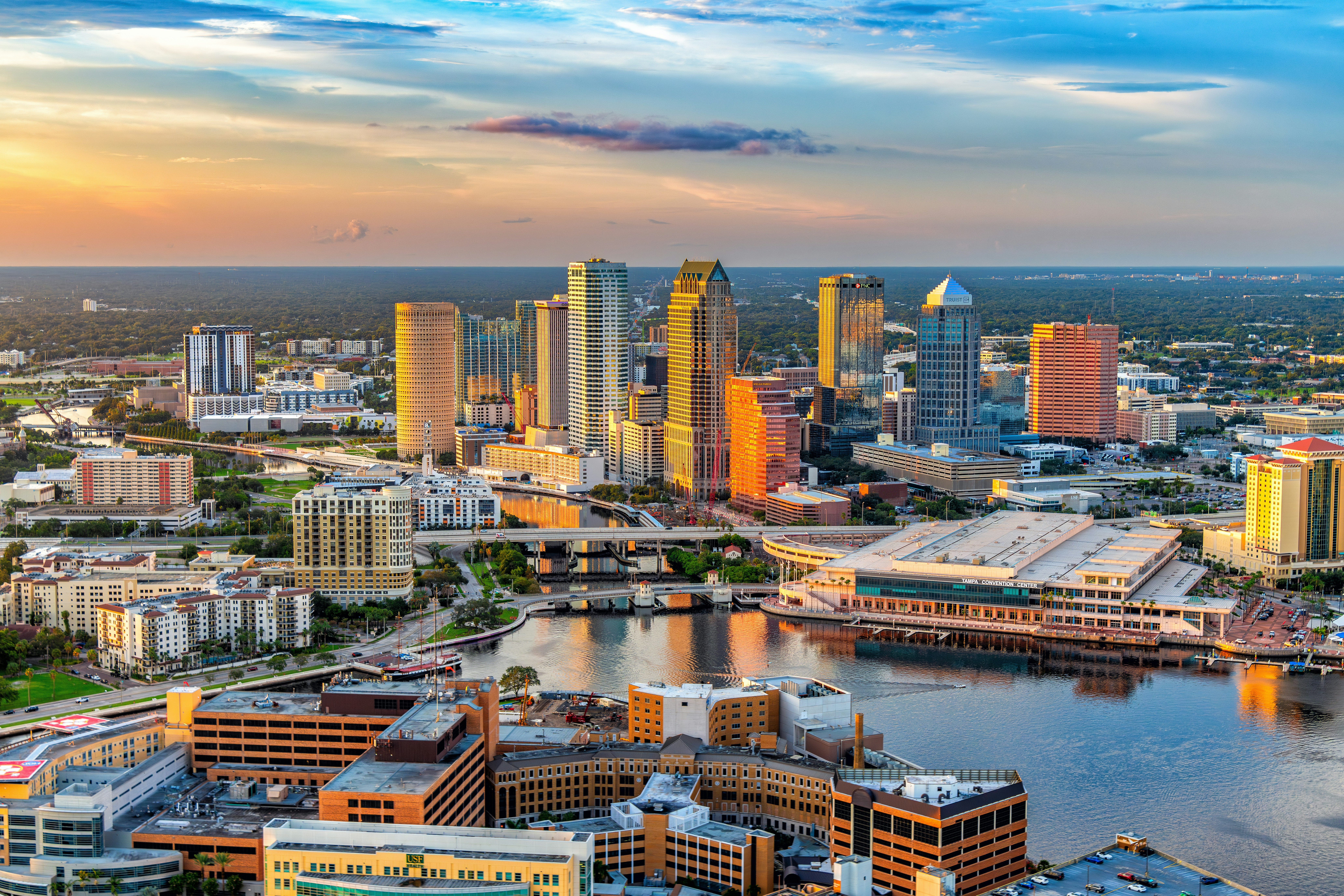
Tampa Bay is in for another soggy one today, with scattered showers and thunderstorms and a high near 88°F pushing the heat index to 97°F — get your outdoor plans wrapped up before early afternoon and keep the rain gear within reach.
Today’s Setup
The National Weather Service in Ruskin says southwest to west flow keeps scattered to numerous storms rolling across the region today and Tuesday, with the deepest moisture and highest rain chances hugging the Nature Coast to our north. For Tampa, St. Pete, and Clearwater, expect scattered storms before 2 PM ET, another round between 2 and 3 PM ET, then more scattered activity into the evening. Rainfall totals of a quarter to half an inch are possible with any downpour. Tonight stays mild and humid with a low around 77°F and a 40% chance of more showers and storms.
Best Window To Be Outside
Morning is your friend. Get runs, dog walks, or yard work around Al Lopez Park or North Shore Park done before the midday buildup. The NWS forecast discussion notes that by midweek the surface ridge lifts north and winds shift east-southeast, pushing storm timing back into the more classic afternoon-and-evening pattern — so mornings should get a little more reliable as the week goes on.
Rain, Wind, And Rip Current Risk
A Flood Watch is in effect through 8 PM this evening for Levy, Citrus, and Hernando counties on the Nature Coast, with only a marginal flooding risk here in the Tampa Bay core — still enough for ponding on low-lying streets during heavy downpours. More pressing for beachgoers: NWS is flagging a high risk of dangerous rip currents at area beaches through this evening. If you’re headed to Clearwater Beach or St. Pete Beach, stick close to lifeguard stands and skip swimming if red flags are flying.
What To Wear Or Bring
A packable rain jacket earns its keep on a day like this, and if you’re wading through wet parking lots or trails, waterproof hiking boots beat soggy sneakers. Runners squeezing in a morning session before the storms build should grab a breathable pair of running shoes men’s models built for humidity.
Concerts This Week
John Mellencamp brings the Dancing Words Tour The Greatest Hits to MIDFLORIDA Credit Union Amphitheatre at the FL State Fairgrounds tonight — pack a poncho, since storm chances linger into the evening. Derek Hough’s Symphony of Dance: Encore hits Seminole Hard Rock Tampa Event Center Tuesday, and Mumford & Sons roll through Benchmark International Arena on Friday, August 7. Grab tickets on SeatGeek for any of these, and Mumford & Sons fans can pick up a Mumford & Sons t-shirt or Mumford & Sons hoodie ahead of the show.
Dinner Tonight
With storms rolling through on and off, it’s a good night to stay in for comfort food — a slow cooker chili or beef stew fits the mood perfectly. A programmable slow cooker or enameled cast iron Dutch oven makes it easy to let dinner simmer while you watch the radar. Need ingredients? You can order groceries on Amazon and have everything for tonight’s dinner delivered to your door.
Next Few Days
Tuesday looks similar — a high near 89°F easing to around 85°F in the afternoon as storms build, with a 50% chance of rain and another heat index near 97°F. By the back half of the week, easterly flow returns and mornings should trend a bit drier before the usual afternoon storms fire up again.