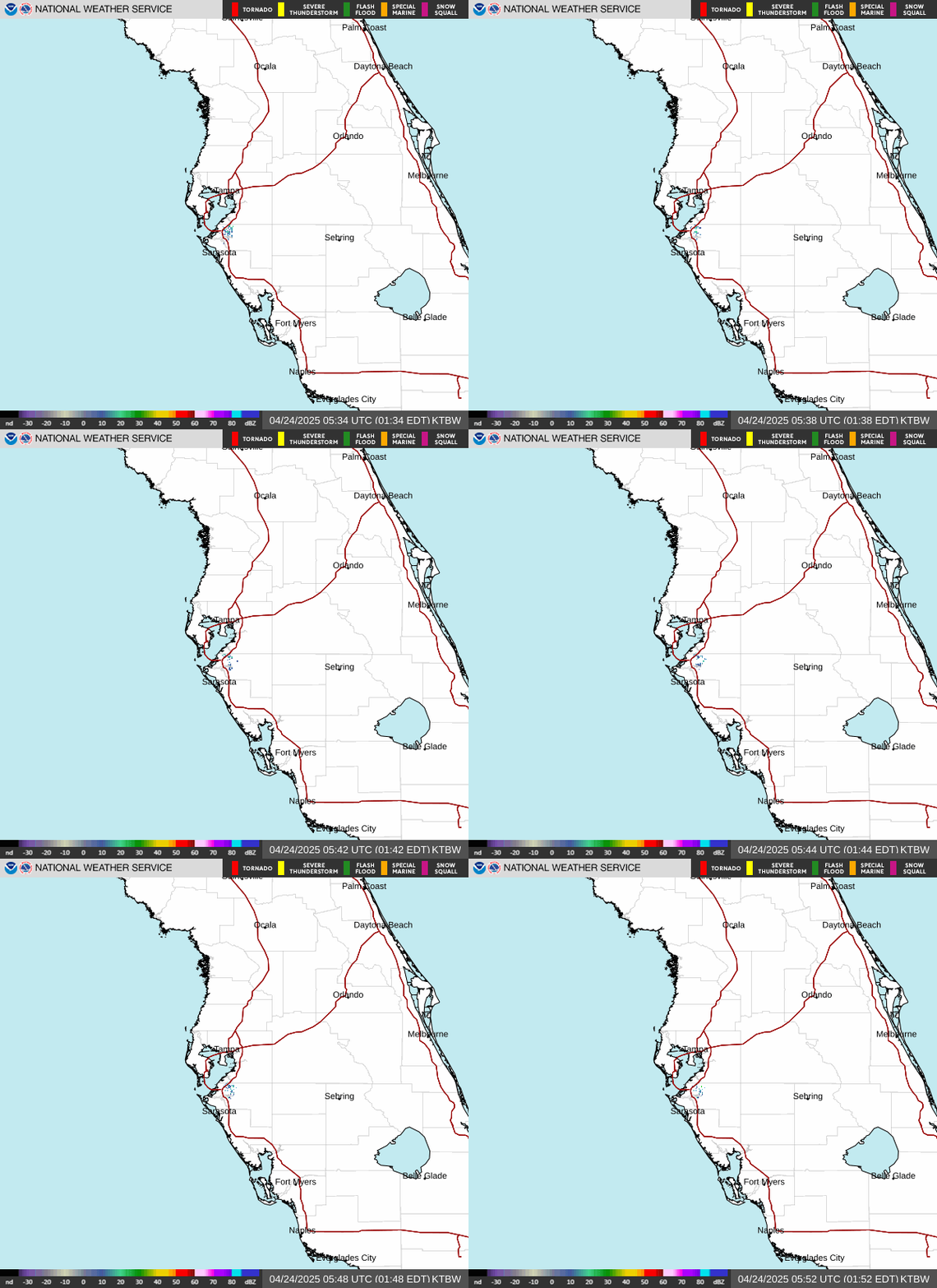
Tampa Bay is easing into another steamy, storm-prone Friday, with a high near 93°F, a heat index climbing as high as 102, and about a 70% chance of scattered showers and thunderstorms. The National Weather Service in Ruskin says the smart move is to get outside early, then stay weather-aware from lunchtime on.
Today’s Setup
An upper-level disturbance and surface easterly wave are sliding off the peninsula into the southeastern Gulf this morning, and forecasters say that’s pulling W. Central Florida into a moist, unstable air mass right as a weak surface low tries to spin up nearby. The NWS is already flagging coastal convergence building from the Tampa Bay area into the Suncoast through the morning commute, with slow-moving storms likely from St. Petersburg’s waterfront to the Clearwater beaches into the afternoon. Winds stay light, WNW at 3 to 8 mph, but expect brief gusty downpours and frequent lightning as sea breeze boundaries collide inland.
Best Window To Be Outside
If you’ve got yard work, a run around Bayshore Boulevard, or a trip to the beach planned, mid-morning before storms fire is your window — temperatures are already near 93°F by midday with that 102 heat index. Between rounds of storms is a good time for quick, non-strenuous chores; consider knocking out mowing during a dry stretch, and this is a solid week to grab the EGO Power+ 56V lithium mower deal if your equipment’s due for an upgrade before the wetter pattern settles in.
Rain, Wind, Fire, Or Heat Risk
Heat and lightning are today’s two real hazards. The heat index near 102 means heat exhaustion risk climbs fast for anyone working or playing outside past late morning — hydrate constantly and take shade breaks. Separately, the NWS points to a slow-moving, wet pattern building through the weekend, with 6 to 8 inches of rain possible at the coast over the next seven days, tapering inland. There’s also a low, 20% chance the offshore low organizes further, something the NWS says it will keep monitoring — nothing to change plans over yet, just something to watch.
What To Wear Or Bring
Light, breathable clothing, sunscreen, and a rain shell that packs small are the move. An insulated tumbler 30oz keeps water cold through the humidity, and if you’re grilling between storm cells tonight, a portable propane grill lets you get food on and off the flame fast before the next cell rolls through.
Tonight’s Concert & Weekend Events
Megan Moroney’s Cloud 9 Tour stop hits Benchmark International Arena tonight — indoors, so the 70% storm chance won’t spoil the show, though the drive in could be soggy. Grab tickets on SeatGeek if you’re still deciding, and a Megan Moroney t-shirt or Megan Moroney hat makes a fun keepsake. Saturday night, Lynyrd Skynyrd plays the outdoor MIDFLORIDA Credit Union Amphitheatre — with scattered storms still likely that evening, watch radar before you head out and pack ponchos.
Dinner Tonight
With highs near 93 and that oppressive heat index, skip the stove. A cold Thai noodle salad or a build-your-own wrap bar keeps the kitchen cool, and a high-powered blender turns extra fruit into smoothie bowls for dessert. Need ingredients? You can order groceries on Amazon and have everything for tonight’s dinner delivered to your door.
Next Few Days
Saturday looks like today’s twin — high near 92, heat index near 100, scattered storms redeveloping through the afternoon. The wet, unsettled pattern continues into early next week as the upper disturbance merges with a trough over the Eastern Seaboard, so keep the umbrella within reach through the weekend.