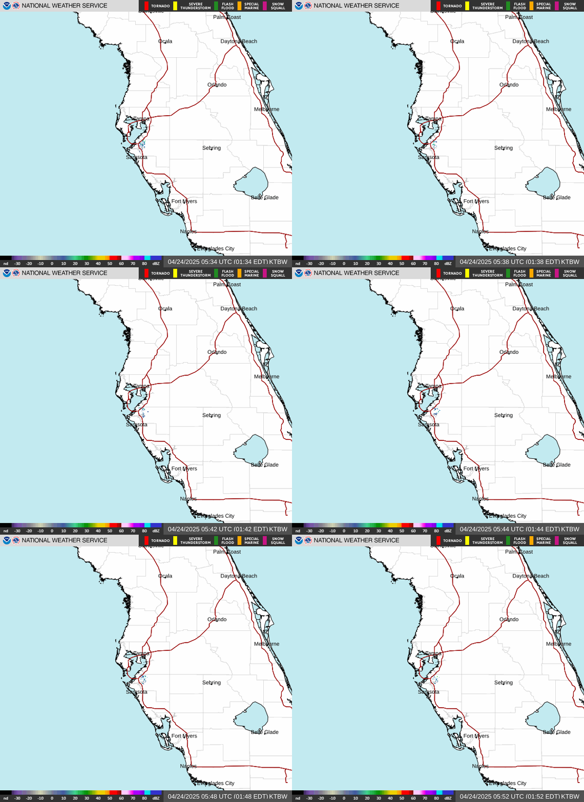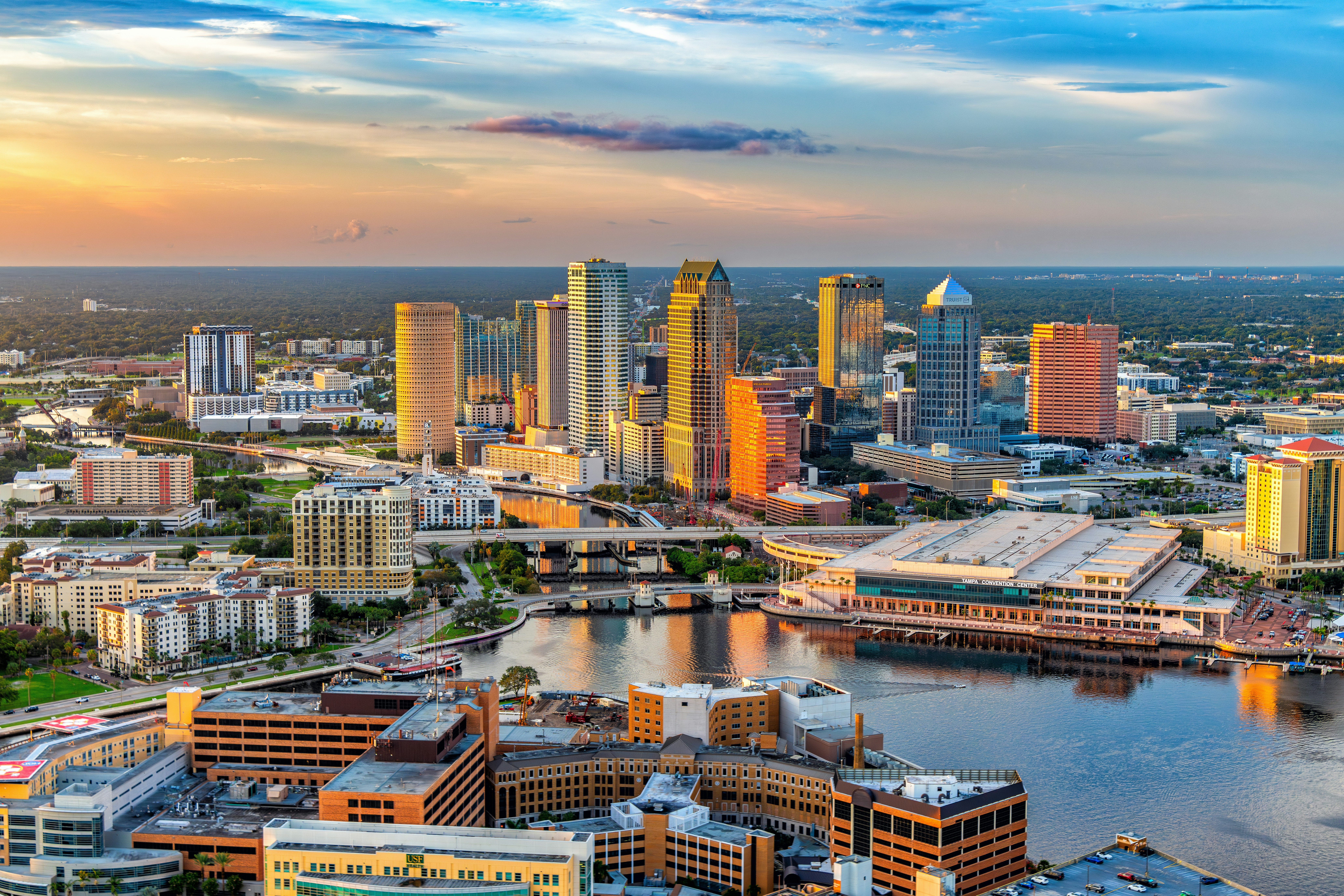
Tampa’s in for another scorcher today: mostly sunny skies, a high near 95°F, and heat index values climbing to 105° by afternoon, with isolated showers and thunderstorms possible before 2 PM ET and better storm coverage between 2 and 5 PM ET. If you’ve got errands or outdoor plans — Bayshore Boulevard, Fort De Soto, the Riverwalk — knock them out before lunch and hydrate like it’s your job.
Today’s Setup
The National Weather Service Tampa Bay office says Saharan dust sitting over the region is this week’s main character — it’s suppressing shower coverage and keeping rain chances lower than typical for mid-July. Today’s 30% storm chance is tied to a weak frontal boundary over North Florida, with the best storm coverage staying north of I-4 rather than right over the bay. Southwest winds stay light at 2 to 9 mph, so there’s little breeze for relief.
Best Window To Be Outside
Morning through early afternoon, before 2 PM ET, is the cleanest window ahead of the 2-5 PM ET storm chance. Tonight, isolated storms clear by 8 PM ET, leaving a partly cloudy, muggy night near 79°F — heat index still near 102°, so an evening walk around Al Lopez Park still calls for water.
Rain, Wind, Fire, Or Heat Risk
Heat, not rain, is the headline risk. NWS is flagging near-record highs and dangerous heat index values through midweek, with Wednesday and Thursday actually running hotter — upper 90s inland — once the frontal boundary exits and the dry, dusty air settles in. If you’re mowing in Seminole Heights or coaching a game at Al Lopez, plan around the midday peak and keep a Yeti rambler water bottle full and cold.
What To Wear Or Bring
Light, breathable layers win today — ventilated workout shorts men beat anything heavy in this humidity. Hammocking in the shade at Vinoy Park? A hammock with stand turns any patch of grass into instant relief. For the muggy evening, an insulated tumbler 30oz keeps drinks cold on the porch, and a ceiling fan smart remote helps ease the AC load overnight.
Tampa Gameday & Events
MIDFLORIDA Credit Union Amphitheatre hosts NE-YO & AKON: Nights Like This Tour 2026 tomorrow, July 14 — an outdoor show right in this heat stretch, so bring water for a warm, muggy night. Wednesday, July 15 brings J. Cole: The Fall-Off Tour to Benchmark International Arena, an indoor, AC-cooled option — a J. Cole t-shirt makes a good pickup on the way in. Later in the week, the Megan Moroney: The Cloud 9 Tour lands July 17, also at Benchmark International Arena; grab a Megan Moroney t-shirt or Megan Moroney hat and look for tickets on SeatGeek. Chicago & Styx: The Windy Cities Tour also plays MIDFLORIDA on July 15.
Tonight’s Meal Idea
With heat index near 105° this afternoon, nobody wants to stand over a hot stove. A cold Thai noodle salad or a build-your-own wrap bar keeps dinner light, and a high-powered blender whips up a no-cook smoothie bowl for dessert. Need ingredients? You can order groceries on Amazon and have everything for tonight’s dinner delivered to your door.
Next Few Days
Wednesday and Thursday look like the hottest stretch of the week, with upper-90s highs inland as the front exits and Saharan dust keeps skies dry. Rain chances stay low through Thursday before climbing Friday into the weekend, back toward a more typical 30-40% as the dust clears out. Before the dry stretch ends, it’s a good time to browse outdoor gear deals for the next round of storm season.