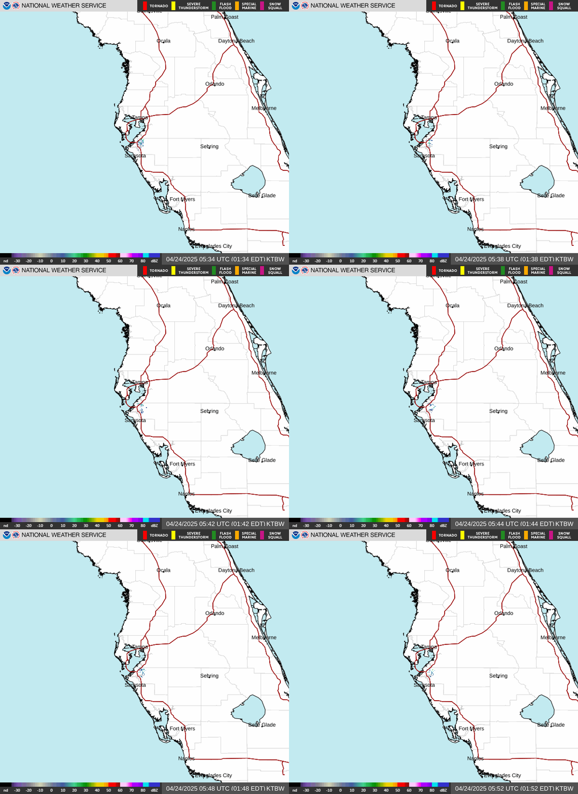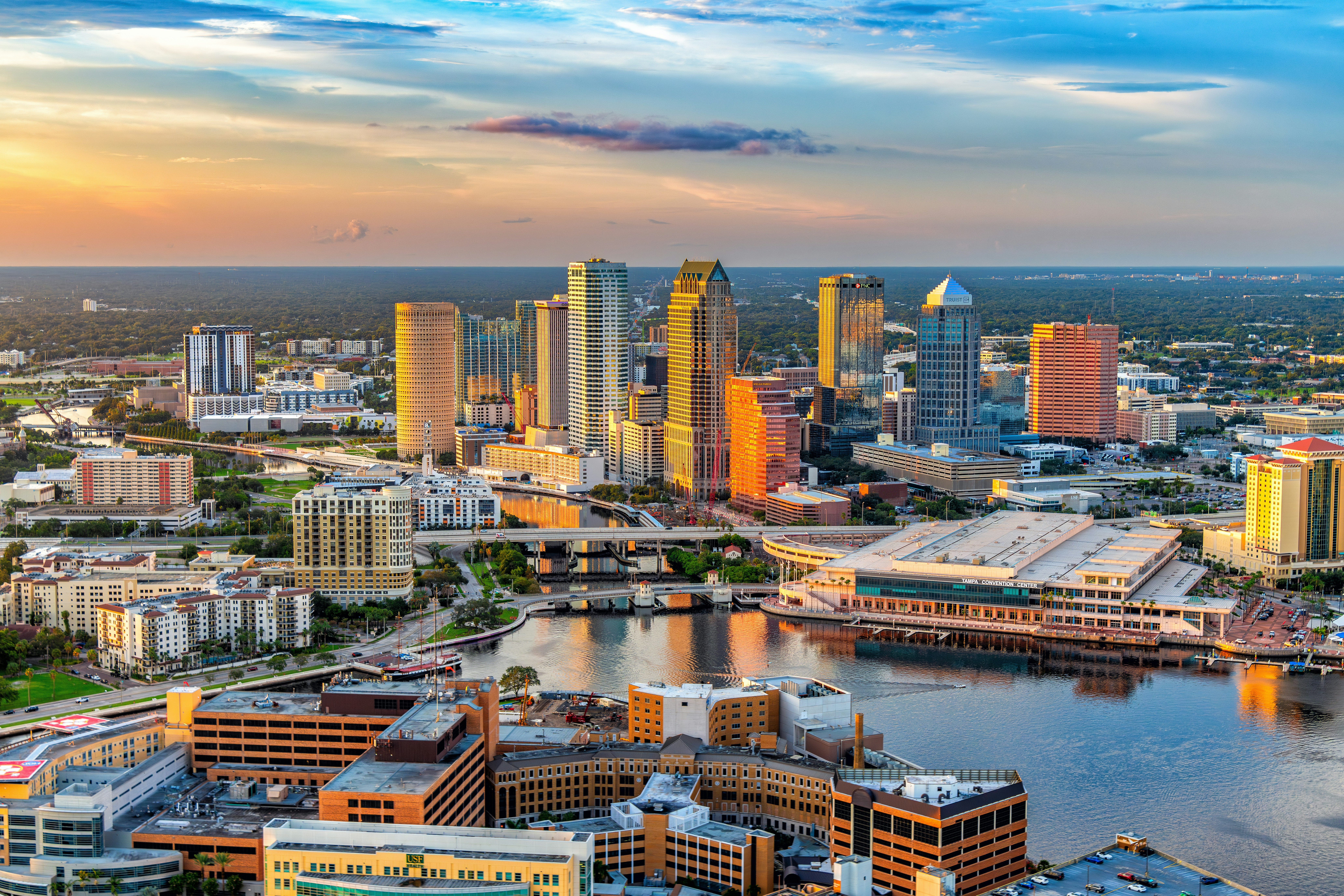
Tampa Bay is waking up to a hot, sticky Tuesday with a high near 94°F, a heat index climbing as high as 104°F, and a 50% chance of showers and thunderstorms — so if you’ve got outdoor plans, get them done early or be ready to duck inside by afternoon.
Today’s Setup
The National Weather Service’s Tampa Bay office says today “will look a lot like Monday”: southwest flow keeps a slight chance of showers and storms possible before 10 AM ET, then a better chance develops between 10 and 11 AM ET, mainly affecting the Pinellas beaches — Clearwater, St. Pete, and the Gulf-side communities — first. By late afternoon and evening, forecasters expect that activity to shift inland and toward the east coast, so Tampa proper and points east should watch the sky mid-to-late afternoon. Winds stay light out of the south-southwest at 2 to 7 mph, and skies stay mostly sunny between rounds. Tonight only cools to a muggy 79°F, partly cloudy, with a 20% shower chance before 7 PM ET.
Best Window To Be Outside
Morning, before the sea breeze fires up the beach-side showers, is your best bet for a run, a walk, or yard work. If you’re near the water, get out early; if you’re inland, you’ve got a bit more daylight before storms build in the afternoon.
Heat And Storm Risk
With heat index values reaching 104°F today and 102°F overnight, this is real heat-illness territory — hydrate often and take breaks in shade or AC. No severe weather outlook is in effect for the area today, and the excessive rainfall risk flagged by the Weather Prediction Center is focused on the Northern Plains and Mid-Atlantic, not Tampa Bay, though any storm cell here can still dump heavy rain fast.
What To Wear Or Bring
Light, breathable clothing is the move — think quick dry swim trunks or a women’s swimsuit if you’re beach-bound, plus men’s sport sandals for wet sidewalks. Keep an insulated water jug 1 gallon topped off no matter what you’re doing outside today.
Gameday And This Week’s Shows
The Tampa Bay Rays host the New York Yankees tonight at Tropicana Field — the dome keeps the on-field action dry regardless of afternoon storms, but tailgaters outside should plan around that midday heat. Grab a Tampa Bay Rays jersey or Tampa Bay Rays fitted cap and get tickets on SeatGeek before first pitch. Wednesday night, Post Malone brings his BIG ASS Stadium Tour Part 2 to Raymond James Stadium; with drier air and Saharan dust moving in per the NWS discussion, storm chances drop to isolated by evening, so conditions should cooperate — grab a Post Malone t-shirt and find tickets on StubHub. Looking a bit further out, the Train concert at MIDFLORIDA Credit Union Amphitheatre lands right as that dry, dusty air peaks later this week.
Dinner Tonight
With highs like these, skip the stove — a cold Thai noodle salad or a build-your-own wrap bar is the smart move, and a high-powered blender turns extra fruit into smoothie bowls in minutes. Pour it into an insulated tumbler 30oz to keep it cold on the porch. Need ingredients? You can order groceries on Amazon and have everything for tonight’s dinner delivered to your door.
Heading to the water this week? A Plano double-sided tackle box is on sale and worth grabbing before the weekend.
Next Few Days
Wednesday stays hot at 95°F with isolated storms mainly after 8 AM ET as Saharan dust filters in. Thursday, that dust takes over fully, wiping out rain chances but keeping highs in the mid-to-upper 90s. Friday and Saturday bring just enough moisture from a Gulf-bound trough for scattered storms, mainly across Southwest Florida, before another dry, hot day returns Sunday.