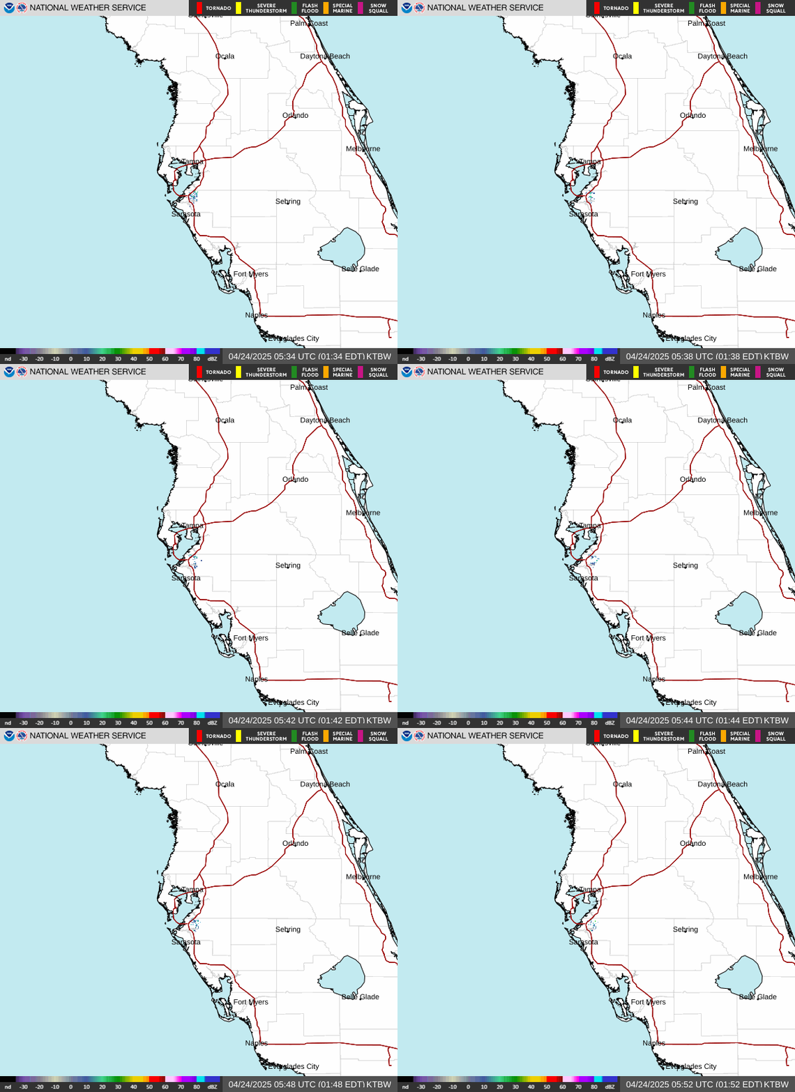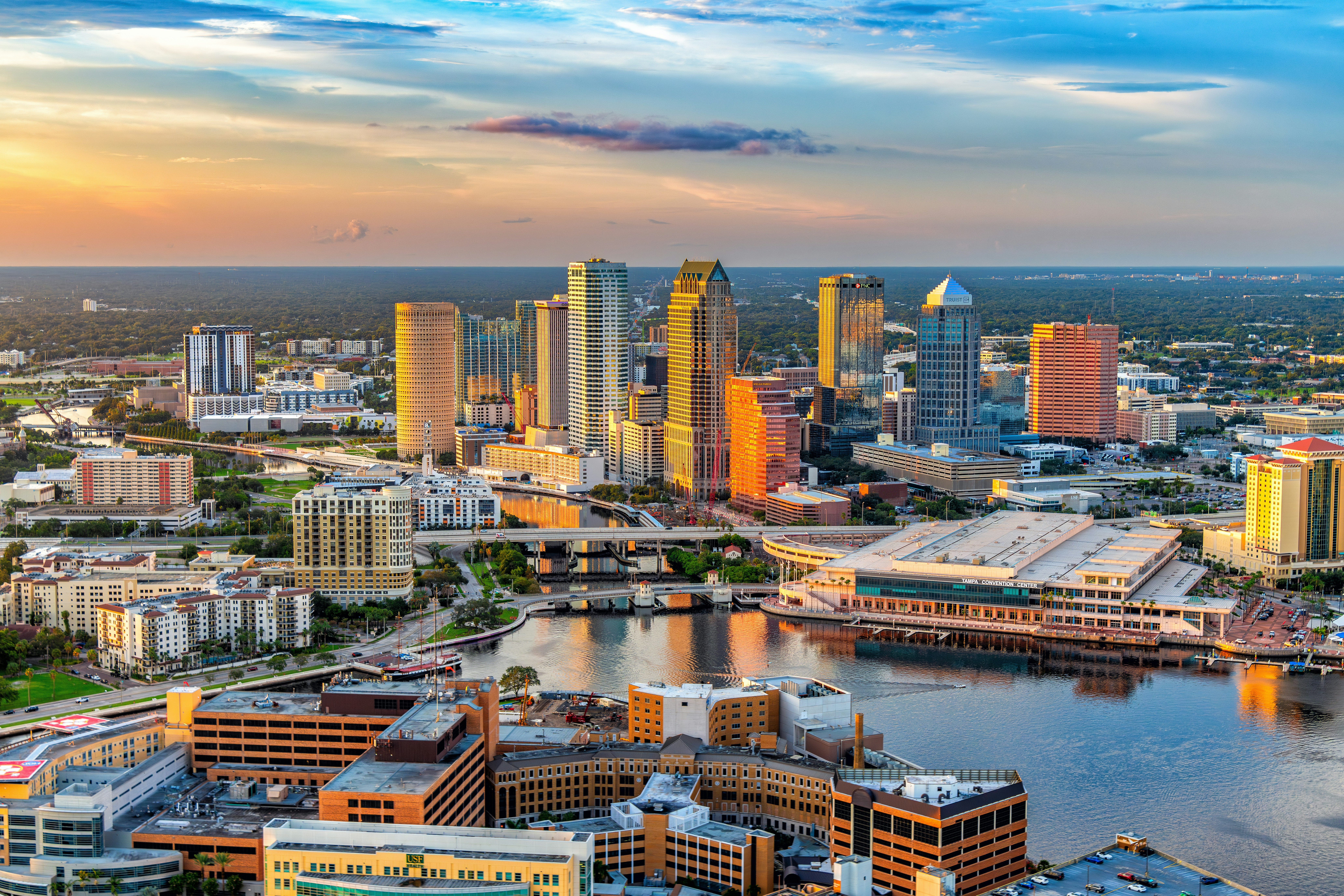
Tampa is waking up to a soggy Sunday, with scattered showers and thunderstorms likely through the day, a high near 87°F, and a heat index climbing to 98°F — if you’ve got outdoor plans, aim for early morning before the storms fire up, and be ready to duck inside once thunder starts rolling off the Gulf.
Today’s Setup
The National Weather Service Tampa Bay Ruskin office says a broad area of low pressure sitting over the eastern Gulf of Mexico is pumping deep tropical moisture right over the Bay area. The National Hurricane Center gives this system a 60 percent chance of developing further over the next 48 hours, but locally the impact is the same either way: repeated rounds of showers and storms, with the highest chances along the coast from Clearwater Beach down to St. Pete Beach. Look for activity before 8 AM, another round between 8 AM and noon, and more waves into the afternoon. Wind stays south-southeast at 8 to 13 mph with gusts up to 21 mph, and a tenth to a quarter inch of rain is likely wherever storms set up.
Best Window To Be Outside
If you’re walking Bayshore Boulevard, riding the Pinellas Trail, or getting the boat out, your best window is early morning, before that first storm cluster arrives. Anglers hoping to beat the weather should get lines in at first light — and if you need to restock the tackle box, it’s worth checking out Strike King crankbaits from $6 at Bass Pro Shops before heading out. By afternoon, cloud cover keeps temperatures in check, but the heat index still hits 98°F, so hydrate and take shade breaks no matter when you’re out.
Rain, Wind, And Lightning Risk
Forecasters are flagging a marginal risk for excessive rainfall along the immediate west coast of Florida through tonight, with storms capable of training over the same neighborhoods and causing localized flooding in low-lying spots. Frequent lightning is expected with any storm — Tampa Bay is famously the lightning capital of the country, so when thunder roars, get indoors. Monday looks even more active: high near 92°F, heat index up to 102°F, a 63 percent chance of storms, and gusts up to 23 mph.
What To Wear Or Bring
Pack rain boot shoe covers if you’re commuting on foot or by bike, and keep a rain jacket handy. If a downpour parks over your neighborhood, a 1000 piece jigsaw puzzle is a good way to ride it out indoors.
Big Weekend Ahead
The Lionel Richie and Earth, Wind & Fire concert hits Benchmark International Arena Wednesday, July 22, followed by Daniel Caesar on July 23. Grab a Lionel Richie t-shirt or Lionel Richie hoodie before the show, and Get tickets on SeatGeek while seats remain. Looking further out, the Tampa Bay Rays host the Cleveland Guardians at Tropicana Field and Wrexham AFC takes on Leeds United at Raymond James Stadium, both on July 25 — that’s beyond our current forecast window, so check back closer to gameday for details.
Tonight’s Dinner
With storms rattling around outside, this is a slow cooker chili or beef stew kind of night. Load up a programmable slow cooker or enameled cast iron Dutch oven this afternoon and let dinner cook itself while you watch the radar. Need ingredients? You can order groceries on Amazon and have everything for tonight’s dinner delivered to your door.
Next Few Days
Tonight stays unsettled with a low around 78°F and a 37 percent chance of more showers. Monday brings the hottest, stormiest day of the stretch at 92°F, and NWS Tampa Bay expects this unsettled pattern — gusty winds, heavy downpours, frequent lightning — to continue into early next week as that Gulf low works itself out.