St. Louis is starting Wednesday partly sunny with a high near 84°F, but your afternoon plans face a 30% thunderstorm chance after 1 PM CT — get your outdoor time in early and tuck a packable rain jacket in your bag before heading out.
Today’s Setup
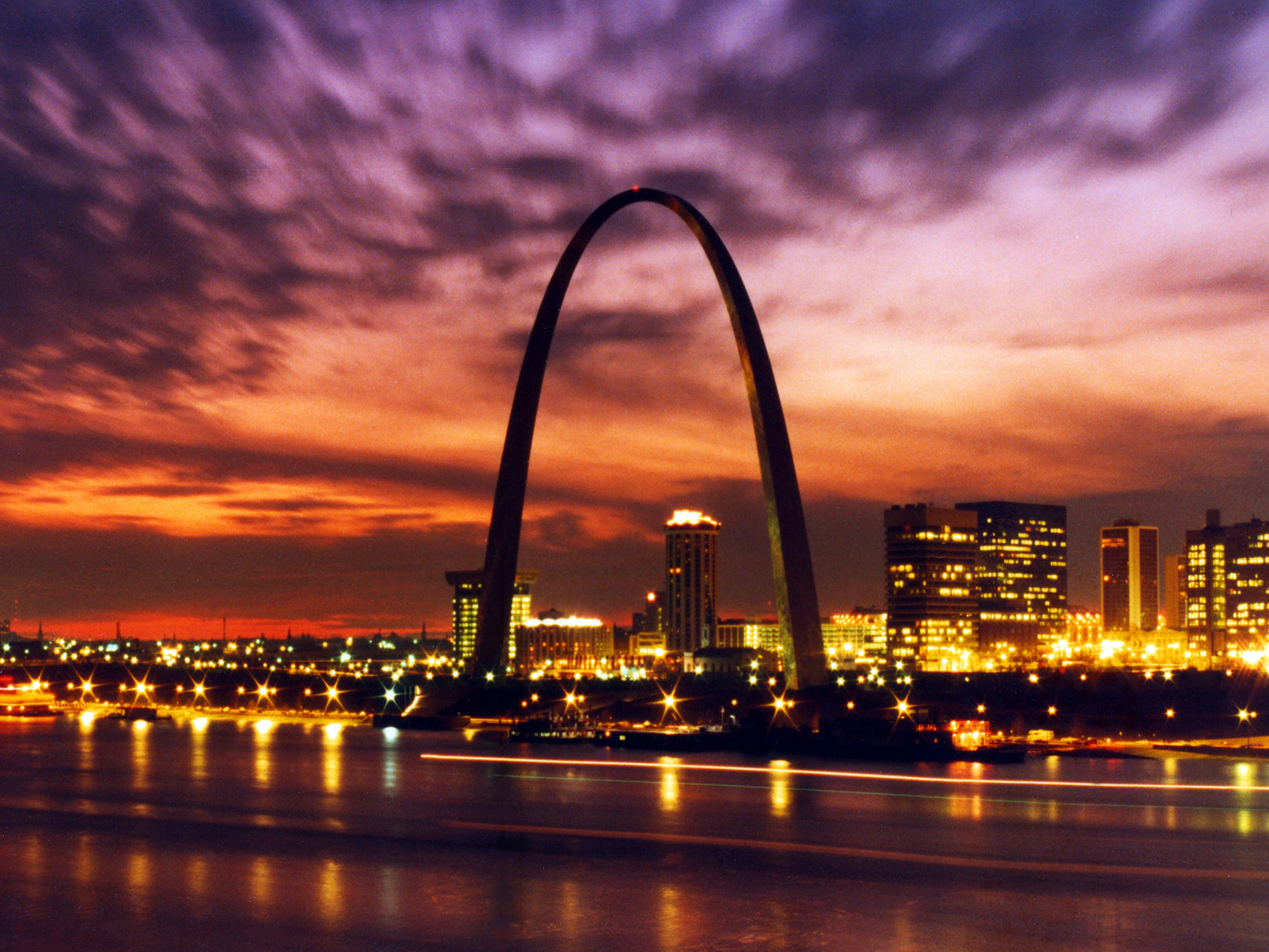
A weak cold front is oozing south through Missouri today, dragging scattered storm chances along with it after lunchtime. The National Weather Service expects light southwest winds of 3 to 7 mph, making for a pleasant morning across Forest Park, Tower Grove Park, and the Arch grounds. The 30% afternoon storm odds shouldn’t wreck your day — there’ll be plenty of dry time — but the building humidity and afternoon clouds are a reminder to stay flexible.
Best Window To Be Outside
Morning through early afternoon is your sweet spot. Mow the lawn, take the dog to Tilles Park, or squeeze in nine holes before noon. By mid-afternoon, radar-watching becomes smart. Tonight looks mostly cloudy with a low around 68°F and only a 20% lingering storm chance, so evening plans have a decent shot.
Rain and Flood Risk
Here’s the bigger story building this week: the National Weather Service in St. Louis is flagging a flash flood threat for Thursday evening through Friday morning, especially along and south of the I-70 corridor and the Lower Missouri River Basin. Storm chances jump to 50% Thursday afternoon, then surge to 90% Thursday night. If you live near the Meramec River, Gravois Creek, or any low-lying flood-prone neighborhood, stay alert and avoid low water crossings Thursday night.
Cardinals Games and Local Events
Tonight’s St. Louis Cardinals vs. Arizona Diamondbacks at Busch Stadium has a fighting chance — afternoon storms may pass before first pitch. Wear your St. Louis Cardinals jersey or St. Louis Cardinals fitted cap and keep the radar app open. Thursday’s rematch carries a 50% storm chance, so have a rain-delay plan ready. The Cardinals then welcome the Miami Marlins starting June 27 — get full gameday weather details in our Busch Stadium weather guide for the Cardinals-Marlins series.
Also tonight: Meghan Trainor: The Get In Girl Tour lands at Hollywood Casino Amphitheater — an outdoor venue, so that afternoon storm window genuinely matters. Arrive early while conditions are clear. Deck out in a Meghan Trainor t-shirt or Meghan Trainor hat, and Find tickets on StubHub if you’re still hunting seats.
Looking ahead to June 27, the Louis Tomlinson - How Did We Get Here? World Tour hits Chaifetz Arena — keep tabs on the post-Friday clearing timeline for that weekend.
What To Wear Or Bring
Light breathable clothes and a packable rain jacket are the call. Humidity is already creeping back up ahead of the front and will be noticeably stickier by Thursday. Don’t head out this afternoon without a quick radar check.
Dinner Tonight
Afternoon storms are the perfect excuse to get a programmable slow cooker going in the morning — chili, beef stew, or chicken soup basically makes dinner for you. For a heartier option, an enameled cast iron Dutch oven handles big-batch stews beautifully. Need ingredients? You can order groceries on Amazon and have everything for tonight’s dinner delivered to your door.
Next Few Days
Thursday is the week’s storm headliner: patchy fog before 8 AM CT, then storm chances build to 50% by afternoon and 90% Thursday night with a significant flash flood risk south of I-70. Friday will likely remain unsettled. Then comes a major pattern shift — the National Weather Service says hot and humid conditions, potentially the warmest stretch St. Louis has seen all year, are increasingly likely Sunday through the end of June. Enjoy the relatively comfortable 84°F today while it lasts, and check the St. Louis weather forecast for daily updates through the weekend.
