St. Louis is heading into a warm, partly sunny Sunday with a high near 90°F — conditions are manageable for afternoon outdoor plans, but keep the radar app ready because scattered storms are likely to fire up after dark.
Today’s Setup
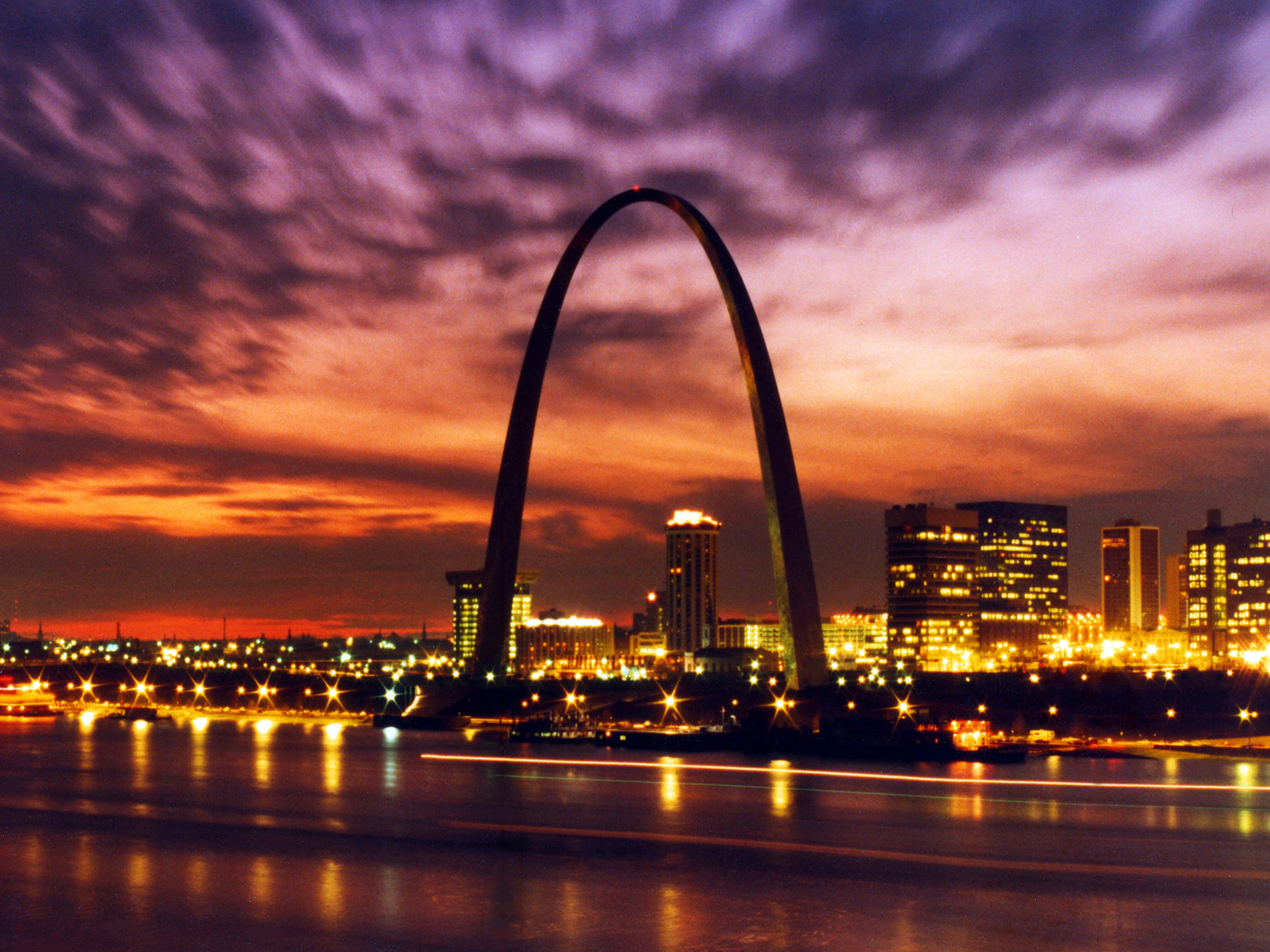
A cutoff upper-level low drifting northeast from Kansas and Oklahoma is providing just enough atmospheric lift to produce a slight chance of rain showers between 11 AM and 1 PM CT, followed by a slight chance of afternoon thunderstorms through peak heating hours. The National Weather Service puts daytime precipitation odds at 20%, so the afternoon should largely hold together. Southeast winds at 2 to 13 mph will push humidity into the mix — that 90°F is going to feel stickier than it reads. If you’re spending time at Forest Park or along the Arch grounds this afternoon, tuck a talc free body powder into your bag. It’s a genuine quality-of-life upgrade once the dew point starts climbing in St. Louis summers.
Cardinals Game Day at Busch Stadium
The St. Louis Cardinals host the Cincinnati Reds at Busch Stadium today in a Kids Rawlings Baseball Glove giveaway game. Afternoon conditions should cooperate — partly sunny skies are expected through first pitch and into the early innings. Dress for humid heat with a St. Louis Cardinals jersey and a St. Louis Cardinals fitted cap, and bring an insulated tumbler 30oz to keep your drink cold in the sun. Need seats? Get tickets on SeatGeek while they’re available. If you can, plan to head home before 7 PM CT — storm chances start climbing as evening approaches.
Also in the city today: the St. Louis Battlehawks host a 2026 UFL Playoff game at The Dome at America’s Center. That’s a fully enclosed venue, so zero weather concerns there.
Storm Risk Tonight
A 40% chance of showers and thunderstorms moves in after sunset and continues through early Monday morning. The bigger concern is the Weather Prediction Center’s Slight Risk for Excessive Rainfall across the St. Louis metro — atmospheric moisture is running 2 to 2.5 standard deviations above normal for early June, and rainfall rates of 2 to 4 inches per hour are possible in the heaviest cells. That’s enough for localized flash flooding. Avoid underpasses and low-lying areas near the Mississippi River waterfront if a heavy storm moves through. If you’re heading to Comedy Bang! Bang! at The Pageant tonight, give yourself extra buffer time and check the radar before you leave.
Monday: Plan Around Rain
Monday looks significantly wetter — the National Weather Service forecasts an 80% chance of showers and thunderstorms through the day with a high near 86°F. If your schedule allows, keep outdoor plans flexible or off the table entirely.
Beat the Heat: Dinner Tonight
Skip the stove. Cold Thai noodle salad, smoothie bowls, or a build-your-own wrap bar are the right call when it’s 90°F and humid outside. A high-powered blender handles smoothie bowls without adding heat to your kitchen. Need ingredients? You can order groceries on Amazon and have everything delivered to your door.
Next Few Days
Heat and humidity build steadily Tuesday through Thursday — the National Weather Service forecasts highs in the 90s with heat index values near 100°F by midweek. Limit time outdoors during peak afternoon hours and stay hydrated. Looking ahead to next weekend: Megan Moroney brings The Cloud 9 Tour to Enterprise Center on June 13 — a perfect indoor option during a brutal heat stretch. Find tickets on StubHub and grab a Megan Moroney hat to rep the show. Check outdoor gear deals if you need to stock up before the summer heat fully locks in.
