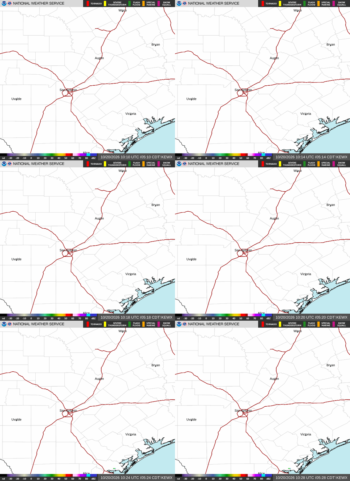
San Antonio wakes up to showers and thunderstorms likely before 4 PM CT today, a high near 86°F, and a flash flood threat serious enough that the National Weather Service is warning residents to be ready to seek higher ground. If you only read one thing before heading out the door: skip the River Walk and any low-water crossing today, and keep an eye on the radar even after rain tapers off tonight.
Today’s Setup
The Weather Prediction Center has placed south-central Texas, including the San Antonio area, under a High Risk of excessive rainfall through 7 AM CT Friday — the top tier WPC issues. Soils are already saturated from days of rain, so any additional downpour runs off fast instead of soaking in. Locally, expect a mostly cloudy day with a southeast wind of 5 to 10 mph and gusts up to 20 mph, a 60% chance of rain, and storms most likely before mid-afternoon, with another round possible overnight.
Flash Flood Risk Is The Real Story
The National Weather Service’s Austin/San Antonio office says considerable to locally catastrophic flash flooding is likely along the U.S. 90 corridor west of San Antonio, including the southern Edwards Plateau, Rio Grande, and western Hill Country. Some spots there could see an additional 10 to 15 inches of rain, with broader totals of 2 to 6 inches closer to town. That feeds into the Nueces, Frio, Medina, and San Antonio river basins, where significant to catastrophic river flooding is possible on top of flooding already underway. Never drive around a barricade, and if water is rising near you, move to higher ground immediately.
Best Window To Be Outside
If you have errands or a dog walk to squeeze in, the calmer stretch looks like Friday afternoon, once a slight chance of morning showers clears and skies turn partly sunny with a high near 89°F. Today is a stay-close-to-home day — lawn mowing, fishing trips, and anything near Hill Country creeks should wait.
What To Wear Or Bring
Grab a rain jacket over an umbrella given the gusty 20 mph wind, plus waterproof shoes for standing water on sidewalks. With flood concerns around town this week, it’s also a smart time to tuck important papers into a fireproof document safe at home.
Concert Night At Frost Bank Center
Storms won’t stop the show — the Carín León concert at Frost Bank Center goes on as scheduled tonight. If you’re heading out, budget extra drive time for standing water, and grab tickets on SeatGeek or Find tickets on StubHub if you still need them. A Carín León t-shirt, Carín León hoodie, or Carín León hat makes a solid throw-on layer for a damp night. Grupo Frontera returns to Frost Bank Center Friday, July 19 — a Grupo Frontera t-shirt is an easy grab if you’re going to that one too.
Tonight’s Dinner
With rain likely lingering into the evening, this is a night for comfort food — slow cooker chili or a pot of beef stew works perfectly with a programmable slow cooker or enameled cast iron Dutch oven doing the work while you stay dry. Need ingredients? You can order groceries on Amazon and have everything for tonight’s dinner delivered to your door.
Next Few Days
Rain chances drop off for Friday (16%) and Friday night (8%), with highs holding near 89°F and lows around 76°F. Keep an eye on river levels around San Antonio through the weekend, since runoff from this week’s rain takes time to move downstream.