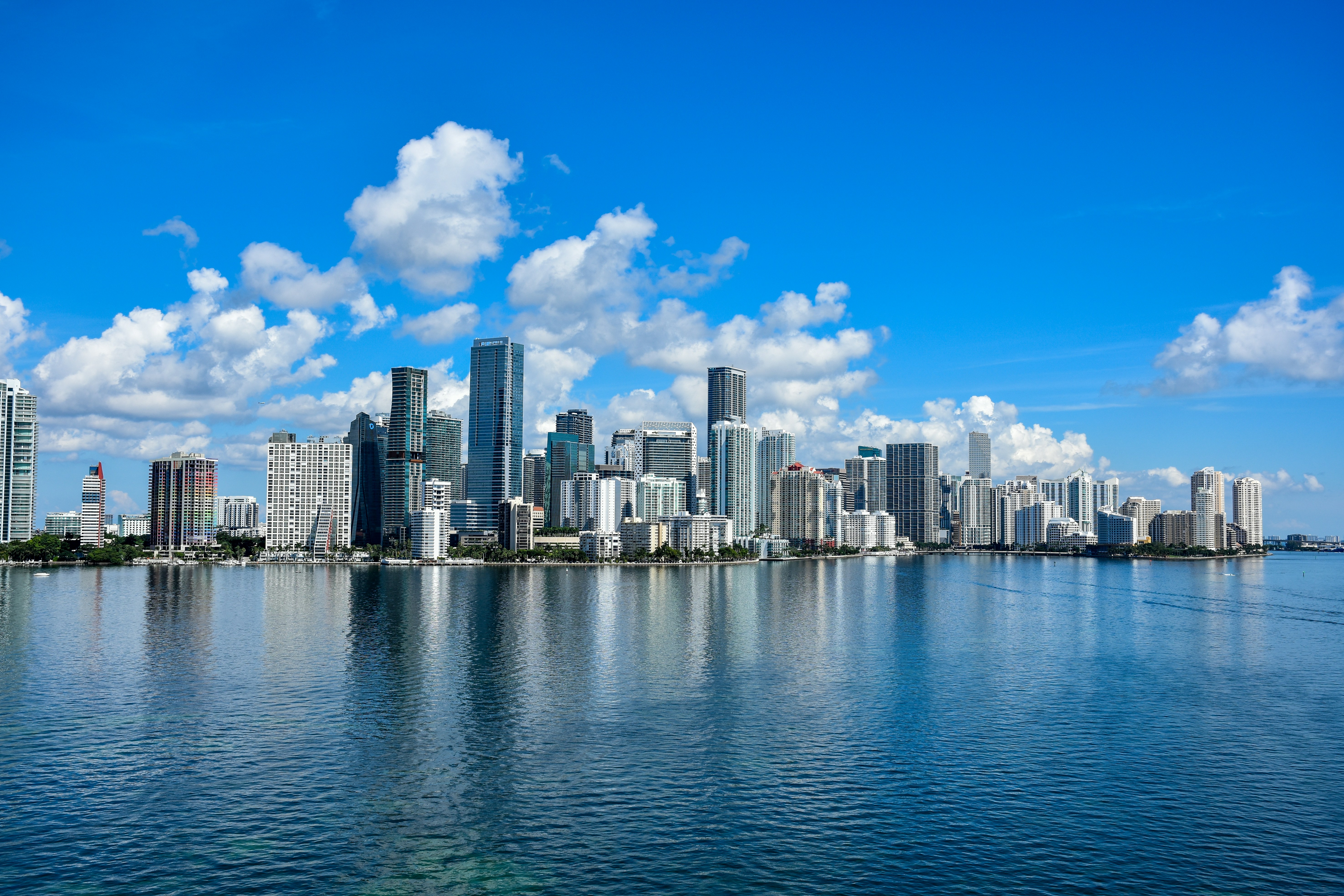
Miami is heading into Tuesday, May 12 with partly sunny skies and a high near 86°F — but outdoor plans need an early curfew, because the National Weather Service expects scattered thunderstorms to develop after 2 PM ET and heat indices to climb near 100°F this afternoon. Get outside this morning, and have a backup plan for the afternoon.
Today’s Setup
A short-wave disturbance tracking out of the Gulf, paired with a frontal boundary stalling over the lake region, is the engine behind today’s stormy afternoon. NWS Miami forecasters expect storms to develop inland before drifting toward the east coast metro — Brickell, Wynwood, and Midtown Miami — by early evening. Southeast winds will stay light at 5 to 10 mph. The storm threat carries into tonight, with a 50% chance of showers and thunderstorms before 3 AM ET and a warm overnight low near 80°F.
Best Window To Be Outside
Before noon is your safest window. South Beach, Bayfront Park, and Virginia Key will be hot and muggy but manageable through mid-morning. By 2 PM ET the National Weather Service says convection starts firing. Golfers, today’s a tough sell — the best golf balls for high handicappers in 2026 will still be there when conditions improve later in the week.
Rain & Flood Risk
The Weather Prediction Center has flagged a Marginal Risk of Excessive Rainfall along the I-95 corridor in Florida for today. NWS Miami notes deep atmospheric moisture — precipitable water values of 1.8 to 2 inches — meaning storms that do fire up will produce heavy rain rates. Low-lying urban areas like Overtown, Little Haiti, and parts of downtown Miami are especially prone to standing water. Never drive through a flooded roadway. A few storms could also pack strong wind gusts, so secure anything loose on your balcony or patio now.
Events Tonight & This Week
Heading to Bush: The Land Of Milk and Honey Tour at Hard Rock Live tonight? Aim to arrive well before 2 PM ET or be ready for a wet sprint from the parking lot. Get tickets on SeatGeek if you still need them.
Tomorrow night (Wednesday, May 13), the Eagles bring “The Long Goodbye Act III” to Hard Rock Live — another warm, storm-possible evening, but that’s what indoor venues are for. Show up in an Eagles t-shirt and make it a night.
Looking further ahead: Inter Miami CF hosts Portland Timbers at Nu Stadium on Saturday, May 17. The frontal boundary is expected to weaken by late Wednesday, which means the weekend should offer much better outdoor conditions for a match. Secure an Inter Miami CF jersey for game day and Find tickets on StubHub before inventory tightens.
Rainy Evening Comfort Food
When afternoon storms roll through, put a programmable slow cooker to work — load it up this morning with everything for a beef stew or chili and come home to dinner ready. An enameled cast iron Dutch oven does the job beautifully for a big pot of soup that stretches through the week. Need ingredients? You can order groceries on Amazon and have everything for tonight’s dinner delivered to your door.
Next Few Days
Wednesday looks nearly identical — partly sunny with a 40% chance of afternoon and evening storms and a high near 86°F. The NWS forecasts the frontal boundary will dissipate by late Wednesday, with conditions gradually improving heading into the weekend. Keep tabs on the Miami weather forecast for the latest updates from NWS Miami as the week unfolds.
