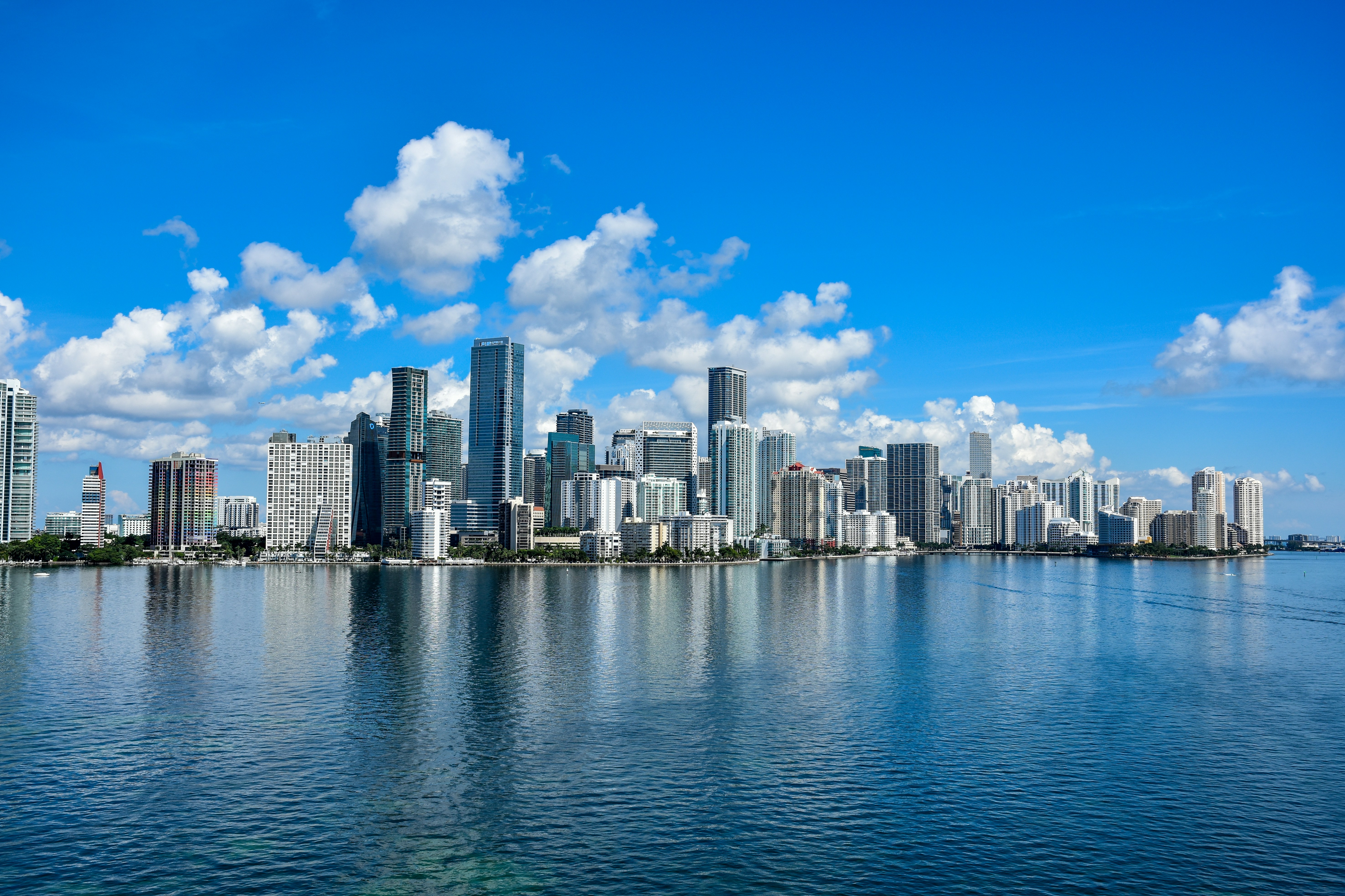
Miami, FL is in for a stormy Thursday — showers and thunderstorms are likely through midday with a high near 81°F and a genuine urban flooding risk across Miami-Dade and Broward counties. If you can work from home today, this is the day to do it.
Today’s Setup
A stalled frontal boundary draped across the Florida Keys is funneling deep tropical moisture straight into metro South Florida, and the National Weather Service is specifically flagging slow-moving storms over already-saturated soils as a flooding concern. The worst of it unfolds between 8 AM and 1 PM ET, when showers and thunderstorms are most likely. Rainfall totals of three-quarters to one inch are possible in spots — and parts of northern Miami-Dade already picked up 5–6 inches overnight. East winds around 16 mph with gusts up to 22 mph are also kicking up hazardous beach and marine conditions; NWS recommends staying out of the water today.
Best Window To Be Outside
Your safest outdoor window is before 8 AM ET. After that, plan around the rain. A brief lull may arrive in the mid-afternoon, but another chance of storms holds through the evening. Tonight: 50% storm chance before 11 PM ET, then mostly cloudy and muggy at 78°F.
Rain And Flood Risk
If you’re driving through Hialeah, Doral, Little Havana, or anywhere near low-lying streets in Miami-Dade or Broward today, give yourself extra time and never drive through flooded roadways. Pack a packable rain jacket if you’re heading out, and throw a battery backup phone charger in your bag — power interruptions are possible during slow-moving storms. With hurricane season now officially underway, the DARAN 288Wh Power Station — just $90 for Prime members is a smart pick-up for the season ahead.
Tonight: ROSALÍA at Kaseya Center
Good news for concert-goers: ROSALÍA: LUX TOUR 2026 tonight at Kaseya Center is indoors, so the storms won’t wreck the show. Rock your ROSALÍA t-shirt and build in extra time for the evening commute if storms linger into rush hour. Still need a ticket? Find tickets on StubHub before they’re gone.
Weekend Outlook: Marlins Baseball Returns
Here’s the bright spot: Friday looks dramatically better. The National Weather Service says a drier air mass pushes into South Florida Friday and Saturday, dropping rain chances to just 20% with highs near 83°F and partly sunny skies. That sets up a solid weekend for the Miami Marlins vs. Tampa Bay Rays series at loanDepot park (June 5–7). Friday’s game should be the best of the three for being outside — grab a Miami Marlins jersey or a Miami Marlins fitted cap and enjoy some genuine baseball weather. Get tickets on SeatGeek if you still need seats.
Also on Friday: the Charlie Puth: Whatever’s Clever! World Tour hits Hard Rock Live. With rain fading by evening, it should be a smooth night out.
Rainy Day Dinner Idea
A slow, stormy Thursday is the perfect excuse to let a programmable slow cooker do the heavy lifting — load it up in the morning with chili or beef stew and dinner is ready when the storms roll through. An enameled cast iron Dutch oven is equally great for a big pot of soup on the stovetop. Need ingredients? You can order groceries on Amazon and have everything for tonight’s dinner delivered to your door.
Next Few Days
Friday: 83°F, partly sunny, just a 20% rain chance — a big turnaround from today. Saturday continues the improving trend. Stay up to date with the Miami weather forecast throughout the week. Keep in mind: June marks the start of South Florida’s wet season, and slow-moving afternoon storms like today’s will be a recurring feature through November.
