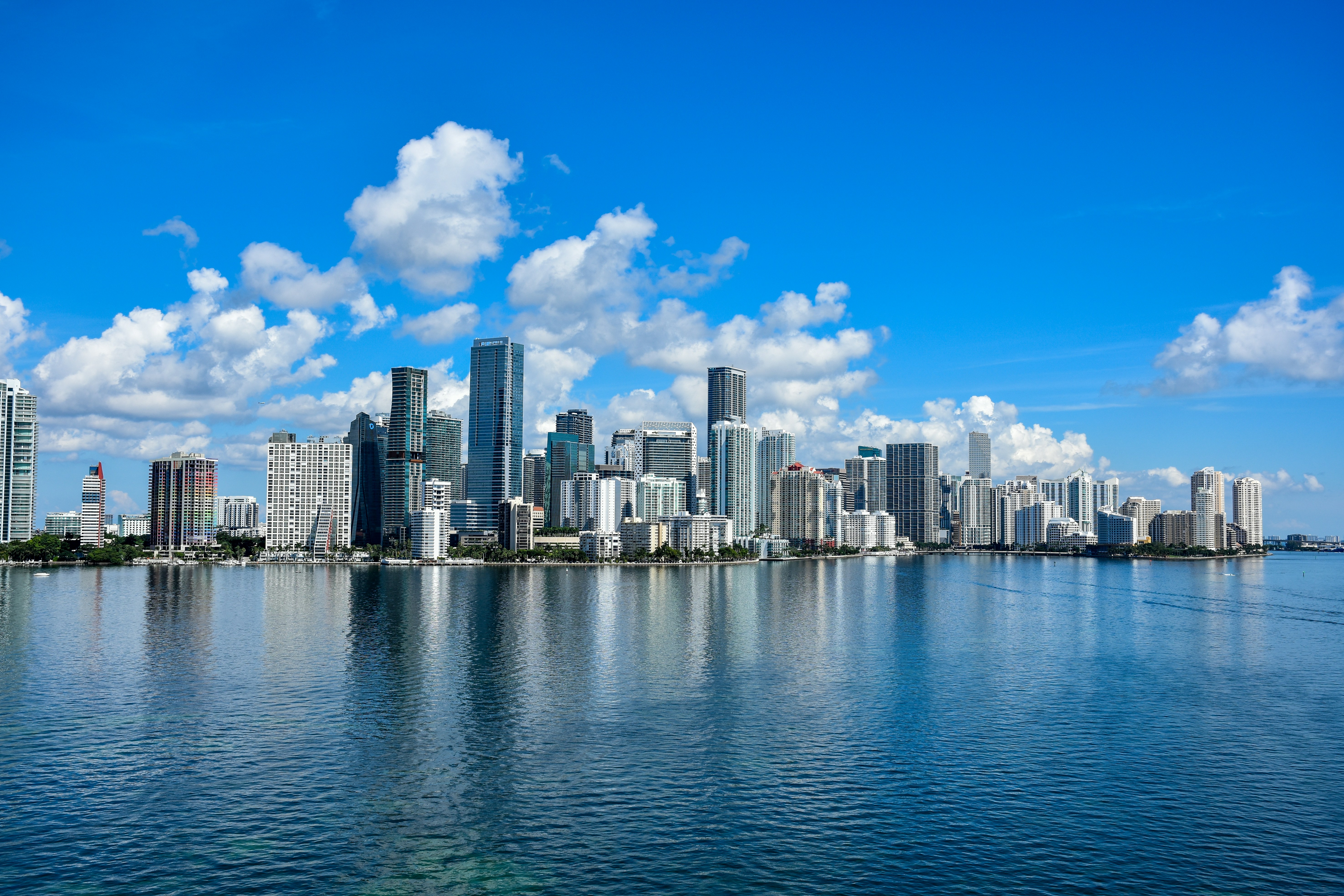
Miami is kicking off Sunday with a high near 88°F, but with a heat index that could reach 101°F and afternoon thunderstorms on the way, you’ll want to be smart about your timing today. Check the Miami weather forecast before you head out — the difference between a great morning and a soaked afternoon comes down to a few hours.
Today’s Setup
The morning will be your best stretch. Partly sunny skies and lighter activity give you a solid window before the storm machine starts up. But once you hit early afternoon, expect things to change fast. The National Weather Service forecasts a chance of showers and thunderstorms between 1 PM and 3 PM ET, becoming likely between 3 and 4 PM ET. Southwest winds stay light at 3 to 7 mph — not much relief from the heat. The NWS Miami office notes that exactly where storms fire is “highly uncertain” and will hinge on sea breeze boundaries and breaks in cloud cover along the eastern coast.
Best Window To Be Outside
Get your Brickell morning walk, Bayfront Park run, or South Beach session done before noon. If you’re hitting the beach, bring a beach towel oversized and go early — be off the sand before 1 PM ET to avoid lightning risk. Afternoon pools and patios are a no-go once the sky starts stacking.
Rain & Flood Risk
Pay attention to this one. The Weather Prediction Center has placed portions of the Southeast U.S. — including South Florida — in a Slight Risk for excessive rainfall today. Some model runs show 2 to 3 inches in spots, and the National Weather Service flags the possibility of “very localized flooding” along the east coast. Low-lying streets in Homestead, near the Everglades fringe, and through coastal neighborhoods can pool quickly. If you’re out this afternoon, avoid driving through standing water. Storms may linger tonight through about 10 PM ET, then skies trend mostly cloudy with a low around 80°F.
What To Bring
A packable rain jacket is essential today — it folds to nothing in your bag but will save you when those 3 PM storms hit without warning. If you’re running errands around Coconut Grove or Wynwood this afternoon, have it within reach. Skip the umbrella if you’re on a bike.
Also: June 1 marks the official start of Atlantic hurricane season. If you haven’t checked your storm kit lately, this weekend is a smart time to do it. A portable power station like the DARAN 288Wh is just $90 for Prime Members — a solid addition before the season ramps up.
This Week’s Events
Tonight, Sexyy Red performs at LIV Nightclub Miami — indoor, so those storms won’t touch you. Monday, June 1, soccer fans can catch Haiti vs New Zealand at Inter Miami CF Stadium — plan around those afternoon storms and aim for an early arrival. The Florida Everblades Eastern Conference Finals Game 6 is also Monday at Hertz Arena.
Later in the week: the Charlie Puth: Whatever’s Clever! World Tour hits Hard Rock Live on Friday, June 5 — Find tickets on StubHub if you’re still looking. And Thursday, June 4, ROSALÍA brings the LUX TOUR 2026 to Kaseya Center — pick up a ROSALÍA t-shirt before the show, or Get tickets on SeatGeek if you haven’t locked in seats yet.
Rainy Day Meal Idea
A stormy Sunday in Miami is practically a gift for slow cooker chili or hearty beef stew. Set your programmable slow cooker before noon and it’ll be ready right when the storms roll through. Need ingredients? You can order groceries on Amazon and have everything for tonight’s dinner delivered to your door.
Next Few Days
Monday looks nearly identical — partly sunny morning giving way to storms likely between 1 and 5 PM ET, with a high near 88°F and heat index again up to 101°F. The NWS notes storms will favor the east coast through early this week, then spread to all of South Florida by mid-week. Stay tuned to the Miami weather forecast as the pattern evolves — and welcome to hurricane season.
