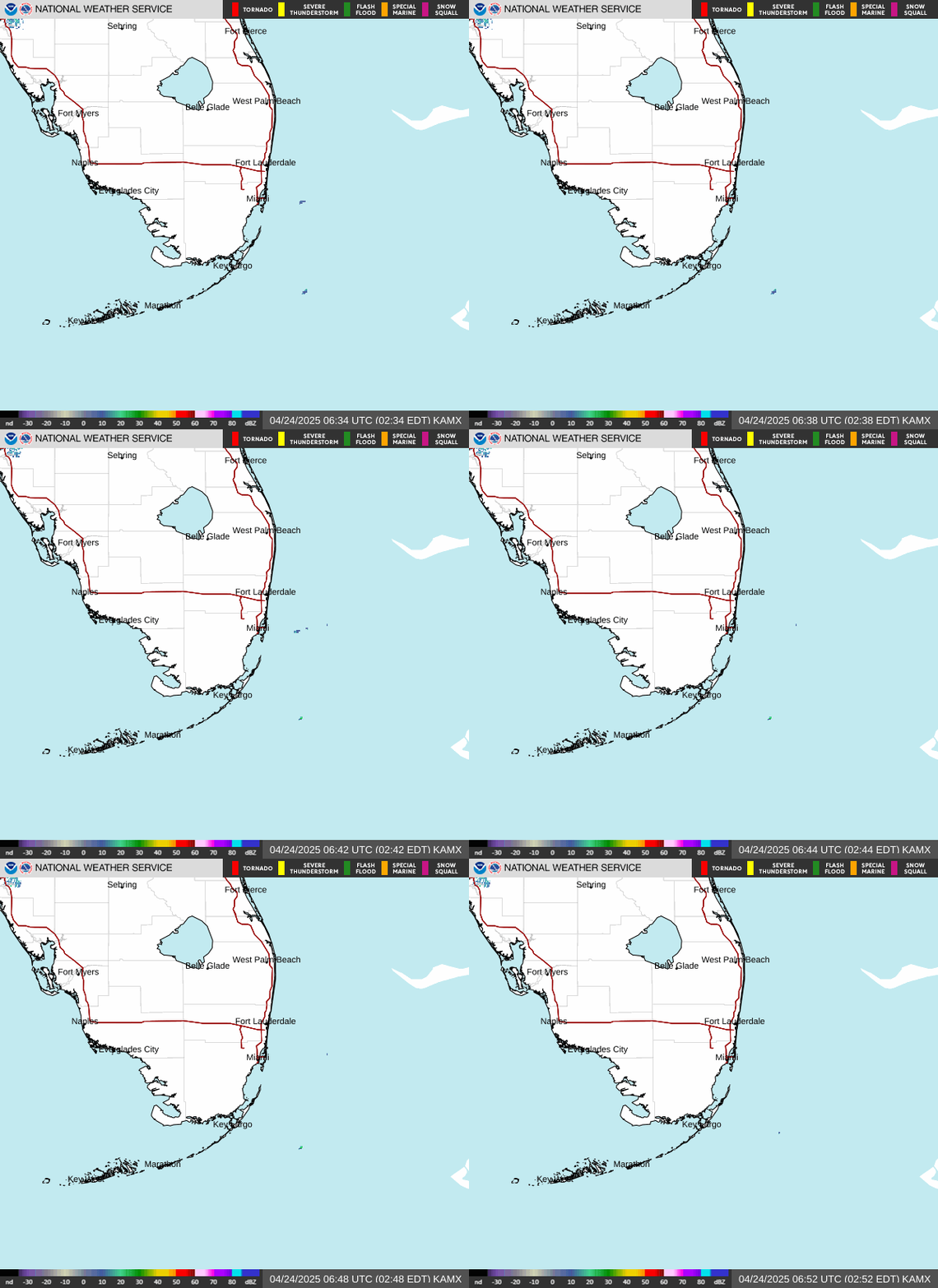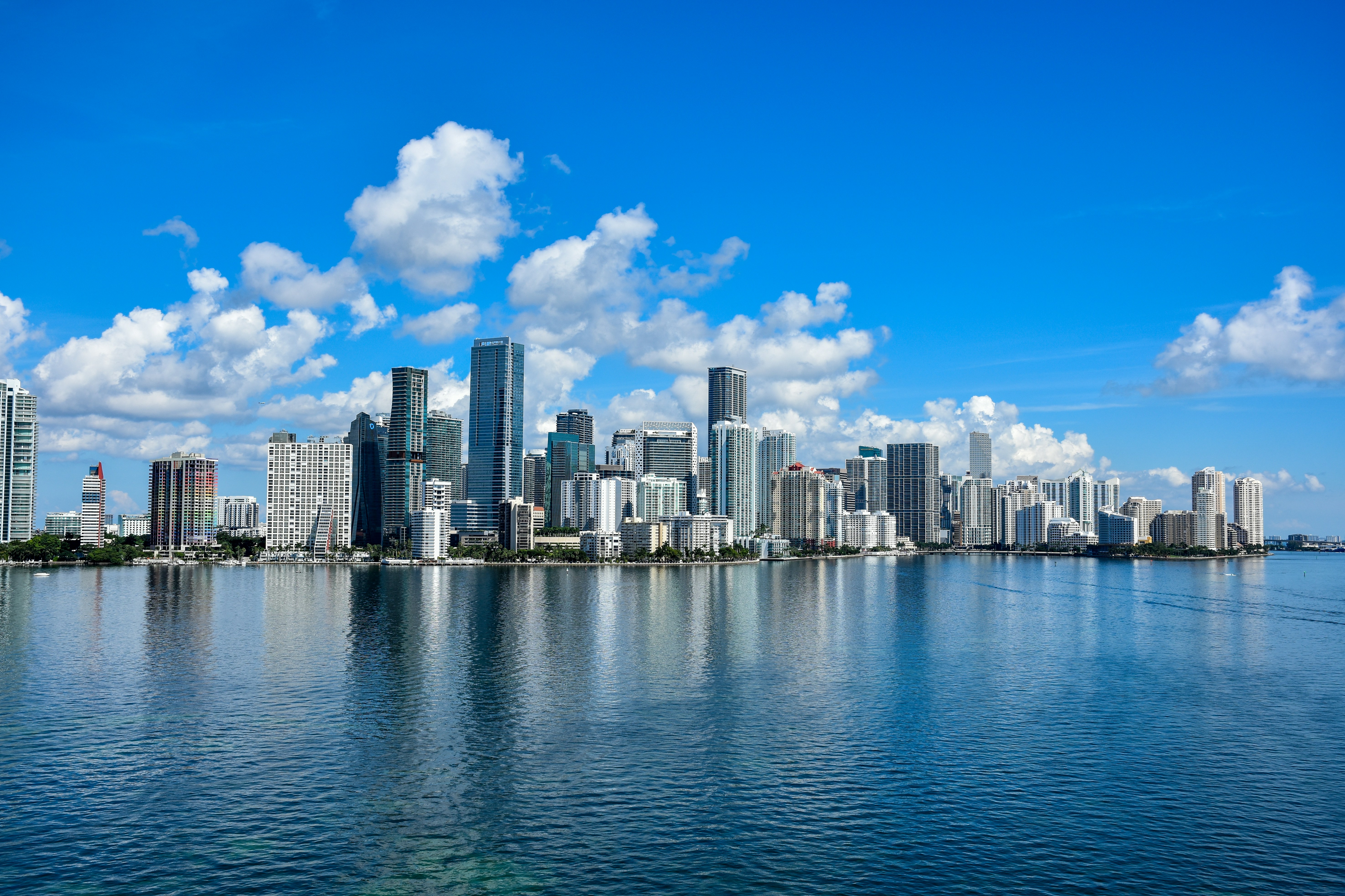
Miami is greeting Memorial Day with sunny skies and a high near 86°F — get outside early and enjoy it, because a significant wet pattern moves in by midweek. The National Weather Service forecasts heat indices climbing into the upper 90s to near 100°F this afternoon, so pace yourself and stay hydrated whether you’re at South Beach, Crandon Park, or grilling in Coconut Grove.
Today’s Setup
A strong surface ridge and southeast winds around 17 mph (gusts to 23 mph) are holding storm chances below 10% for the Miami metro all day. That steady sea breeze will make the coast more bearable, but inland neighborhoods like Hialeah and Doral will feel every degree of that heat. The National Weather Service has flagged a high rip current risk at Atlantic beaches through Tuesday evening — swim near a lifeguard and do not fight the current if you get pulled.
Heat, Allergy & Fire Watch
With heat indices near 100°F, breaks in the shade and constant hydration aren’t optional — they’re essential. High heat and gusty winds stir up pollen and mold, so if you’re an allergy sufferer, running a washable HVAC air filter MERV 13 at home can make a real difference indoors. On the fire side: breezy, dry conditions today elevate brush fire risk along the Everglades corridor. Keep a fire escape ladder 2 story accessible and have a go bag emergency evacuation kit ready — with hurricane season beginning June 1, now is exactly the right time to build out your preparedness. If you’re spending hours in the sun, the UPF 50+ Fishing Shirts for $6.50 deal on our site is serious sun protection at a bargain price.
Rain & Flood Risk Ahead
The sunny stretch ends Wednesday. NWS Miami is tracking deep tropical moisture pushing into South Florida mid-week, bringing widespread rain and a localized flooding threat that stretches through the weekend. The Weather Prediction Center has issued a Slight Risk of excessive rainfall for portions of the region. Low-lying areas near the Miami River and Brickell should pay attention now — picking up sandbags for flooding before the wet pattern locks in is a smart move.
Live Music This Week
Tuesday evening is one of the last clear nights of the week. “Weird Al” Yankovic brings the Bigger & Weirder 2026 Tour to Hard Rock Live on May 26 — Get tickets on SeatGeek to lock in your spot. On May 28, Jelly Roll brings the Little Ass Shed Tour to iTHINK Financial Amphitheatre, and Roberto Carlos plays Kaseya Center the same night — both shows face a chance of evening storms, so plan to arrive early and keep an eye on radar. MiamiBash rolls into Kaseya Center on May 30; grab a MiamiBash t-shirt before it sells out. Also worth noting: the Florida Everblades Eastern Conference Finals Game 6 (if necessary) is set for June 1 at Hertz Arena — right in the middle of the wet pattern, so check conditions closer to game day.
Next Few Days
A slight chance of showers and thunderstorms pops up tonight between 8–11 PM ET (20% chance) before clearing. Tuesday stays mostly sunny at 86°F, but a 40% storm chance returns Tuesday night after 8 PM ET. Wednesday through the weekend, widespread rain and elevated flood risk take over — wrap up any outdoor projects by Tuesday afternoon and check your Miami weather forecast daily as this evolves.
Dinner tonight: A warm, breezy Memorial Day evening calls for something easy — pasta or a quick stir-fry works perfectly whether you’re eating on the patio before that late-night storm chance rolls through or keeping it indoors. Need ingredients? You can order groceries on Amazon and have everything delivered right to your door.
Browse outdoor gear deals for more sun protection and storm prep supplies heading into a busy week.