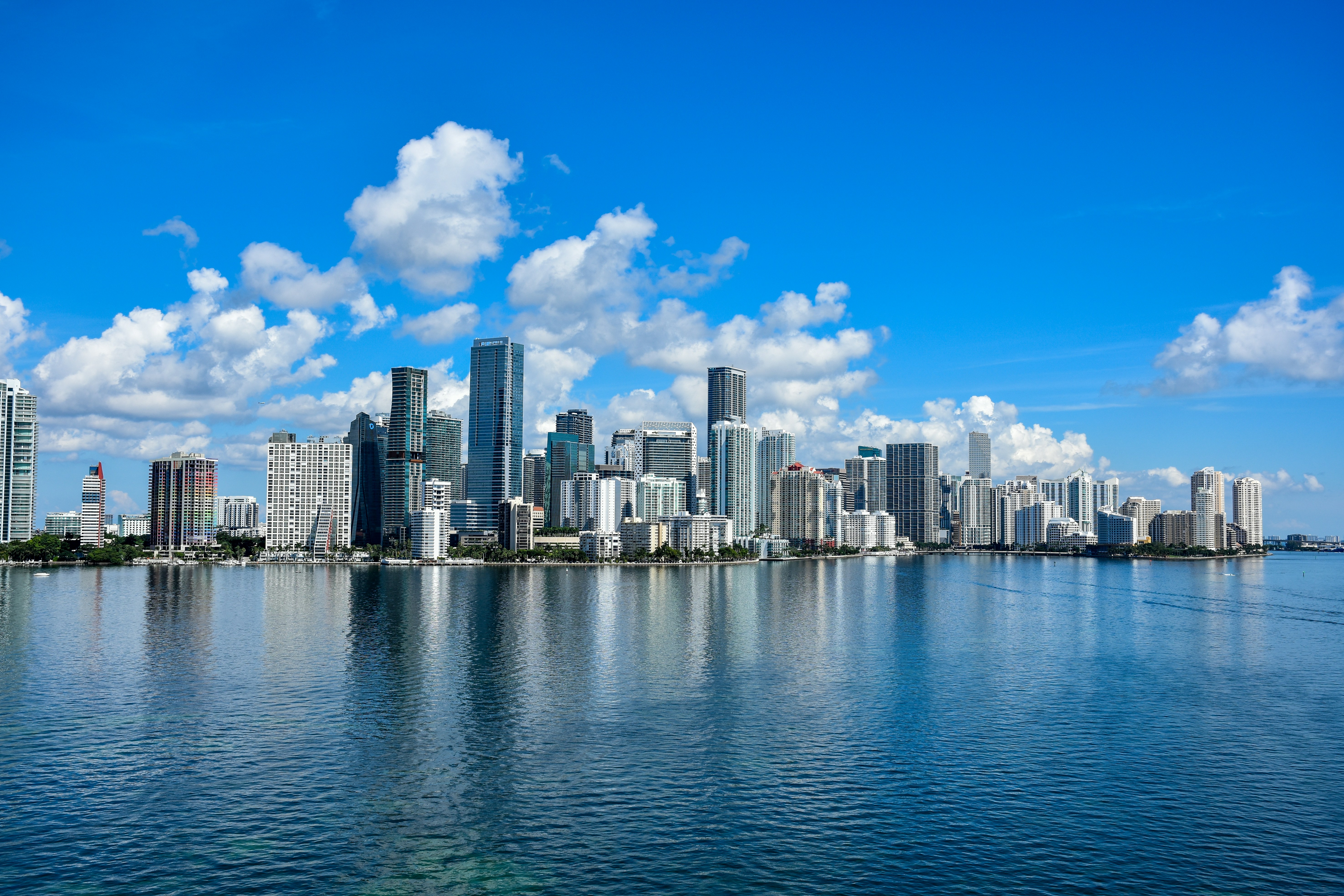
Miami kicks off Friday, June 5 with partly sunny skies and a high near 82°F — one of the driest, most comfortable days South Florida has seen in weeks. Get outside while this window lasts.
Today’s Setup
The National Weather Service confirms a drier airmass has settled over South Florida, pushing moisture southward into the Florida Straits. Rain chances today are a slim 8%, and afternoon pop-up storms are unlikely. A northeast wind around 15 mph with gusts near 20 mph keeps things feeling breezy rather than oppressive. This clean pattern holds through Saturday before the atmosphere reloads.
Beach heads-up: The NWS has issued a dangerous rip current advisory at all east coast beaches through Saturday evening. South Beach, Haulover Beach, and Hollywood Beach are all affected — swim near a lifeguard and stay out of the shore break.
Best Window To Be Outside
Honestly, all day is fair game. Morning golfers at Crandon Golf on Key Biscayne will find near-ideal conditions — manageable heat, steady sea breeze, and clear skies. Check out outdoor gear deals before you head out.
Tonight, the Miami Marlins open a three-game home series against the Tampa Bay Rays at loanDepot park (June 5–7). Dry skies and a warm 78°F evening make for a great night at the ballpark. Gear up with a Miami Marlins jersey and a Miami Marlins fitted cap, then lock in your seats via Get tickets on SeatGeek or Find tickets on StubHub before they move.
Also tonight: the Charlie Puth: Whatever’s Clever! World Tour plays Hard Rock Live. The dry forecast makes this a stress-free evening out — grab a Charlie Puth t-shirt to rep the night.
Rain and Heat Risk
No severe weather risk for Miami today or Saturday — the Storm Prediction Center has no outlook for South Florida, and the Weather Prediction Center’s excessive rainfall discussion is focused on Nebraska and Texas, well away from us.
Saturday is actually the cleaner day: sunny with a high near 84°F and just an 11% rain chance. The shift arrives Saturday night, when the National Weather Service forecasts a 30% chance of showers and thunderstorms after 8 PM ET. By Sunday, heat and humidity build toward a high near 86°F, and NWS meteorologists note heat indices could approach the lower 100s across parts of South Florida. Early next week, widespread shower and thunderstorm activity is expected to return to the region — so enjoy the dry stretch now.
Grill While You Can
This is picture-perfect grilling weather, and with Father’s Day right around the corner, a Father’s Day grilling set is a seriously timely gift. Fire up a propane gas grill for burgers, steaks, or grilled chicken with corn on the cob. Use an instant-read meat thermometer to nail your temps, and keep a grill brush and scraper set nearby for cleanup. For weekend cook inspiration, check out how to smoke tri-tip like brisket. Need to stock up? You can order groceries on Amazon and have everything delivered before dinner.
Next Few Days
- Saturday: Sunny, high near 84°F. Marlins host the Rays again — rip current warning still in effect at beaches.
- Saturday Night: 30% chance of showers and thunderstorms after 8 PM ET.
- Sunday: Partly cloudy, high near 86°F. Heat indices could approach the lower 100s — limit midday exposure and stay hydrated.
- Early Next Week: The NWS is gaining confidence in a return of widespread showers and thunderstorms. Keep plans flexible and check back for updates.
