
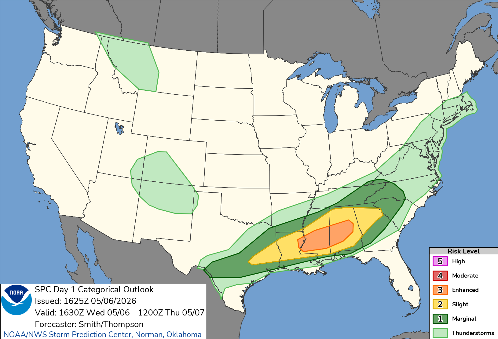
Weather Window is tracking a higher-end severe weather setup across the Deep South today. The Storm Prediction Center’s Day 1 outlook places portions of northern Louisiana, central Mississippi, and central Alabama in an Enhanced Risk for severe thunderstorms, with additional severe storm potential extending from eastern Texas into the lower Mississippi Valley, Tennessee Valley, southern Appalachians, and parts of the Southeast.
The most important window is this afternoon into tonight. SPC expects scattered severe thunderstorms from eastern Texas into the lower Mississippi and Tennessee Valleys and southern Appalachians. The strongest corridor is focused from central Mississippi into central Alabama, where supercells may be capable of multiple hazards before storms begin clustering and shifting more toward a damaging wind threat later this evening and overnight.
Decision Summary
- Best window to prepare: Before storms develop this afternoon.
- Main severe risks: Large to very large hail, damaging wind, and tornadoes.
- Flood concern: Localized flash flooding is possible where storms repeat over the same areas.
- Where to watch closest: Northern Louisiana, central Mississippi, central Alabama, then southern Alabama and parts of Georgia later.
- Useful links: SPC Day 1 Convective Outlook, SPC watches, SPC mesoscale discussions, and WPC excessive rainfall outlook.
What SPC Is Highlighting
SPC’s outlook centers the Enhanced Risk over northern Louisiana, central Mississippi, and central Alabama. The agency notes that supercells are possible in parts of central Mississippi and Alabama, with large to very large hail as an early primary concern. Tornado potential is expected to increase from late afternoon into the evening from central Mississippi into central Alabama as low-level winds strengthen.
That does not mean every community in the risk area will see severe weather, but it does mean conditions can support storms that become dangerous quickly. If discrete storms can develop and remain organized, the tornado and hail threat becomes more serious. If storms merge into clusters, damaging wind becomes a larger concern farther downstream.
Areas At Risk
The core risk area includes parts of:
- Northern Louisiana
- Central Mississippi
- Central Alabama
Storms may also affect portions of eastern Texas, the Tennessee Valley, the southern Appalachians, southern Alabama, and central or southern Georgia as the system evolves through the evening and overnight.
Hazards To Plan Around
Large hail is a concern with stronger storms, especially earlier in the event where supercells can stay more isolated. Damaging wind becomes a bigger issue as storms organize into clusters later in the evening. Tornadoes are also possible, with the highest concern tied to storms that stay discrete in the central Mississippi and central Alabama corridor.
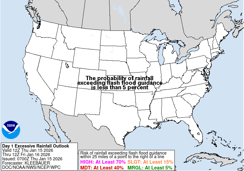
This is also a heavy-rain setup. The Weather Prediction Center has a Day 1 Slight Risk of excessive rainfall over parts of the Interior Southeast, including portions of Mississippi and Alabama. WPC notes that some locations could see rainfall rates capable of causing localized flooding, especially where storms train over the same area.
What To Do Now
Review your warning plan before storms arrive. Make sure wireless emergency alerts are enabled, know where you would go if a tornado warning is issued, and avoid relying on outdoor sirens as your only alert source. If you are driving this afternoon or tonight, check the forecast before leaving and be ready for rapidly changing visibility, ponding water, and strong wind gusts.
For Weather Window readers in Alabama, Mississippi, Louisiana, Georgia, Tennessee, and eastern Texas, this is a day to keep official alerts close. Outlook areas can change, and watches or warnings are issued closer to the time storms actually develop.