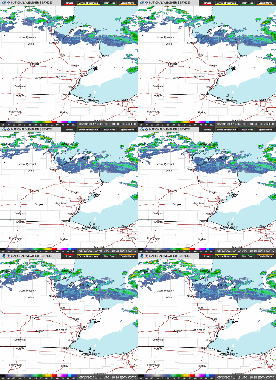
Detroit wakes up to a warm, mostly sunny Saturday with a high near 87°F, but the National Weather Service says a weak cold front will push across southeast Michigan this afternoon, bringing a chance of showers and thunderstorms — so plan outdoor time for the morning and be ready to duck inside by early afternoon.
Today’s Setup
Winds run west-southwest at 7 to 13 mph with gusts to 21 mph as the front approaches. The National Weather Service’s Detroit/Pontiac office notes around 1,500 J/kg of instability building ahead of the boundary, with the best window for storms between noon and 4 PM ET. Wind shear is weak, so this looks like scattered pulse-type storms rather than a widespread severe outbreak — but the Thumb region could see better coverage thanks to lake-breeze convergence.
Best Window To Be Outside
Morning through late morning is your safest bet along the riverfront, Belle Isle, or Eastern Market before clouds build. If you’re headed downtown for Chris Stapleton’s All-American Road Show at Ford Field tonight, keep an eye on the sky — the front should clear through by evening, leaving improving conditions for the show. Grab tickets on SeatGeek or Find tickets on StubHub if you’re still deciding, and a Chris Stapleton t-shirt or Chris Stapleton hat makes a solid concert-night pickup.
Rain, Wind, Fire, Or Heat Risk
The severe threat is low, but forecasters flag a localized risk of a strong wet microburst with any robust storm cell, given steep low-level lapse rates and elevated instability. Isolated gusty winds and brief heavy downpours are possible if you’re caught under a cell near Corktown or the New Center area. A packable rain jacket is worth keeping in the car or bag through midafternoon.
What To Wear Or Bring
Light, breathable layers work for the muggy afternoon heat, with that rain jacket on standby. If you’re squeezing in yard work, tackle it in the morning window — an EGO Power+ 56V battery deal is running now if your mower or trimmer needs fresh power before storms roll through.
Next Few Days
Storms should wrap up after the front clears tonight, with a mostly clear, cooler Saturday night near 64° under northwest winds. Sunday climbs back to 85° with just a slight chance of afternoon showers, but confidence drops heading into Monday — the Detroit/Pontiac forecast office is watching a larger storm system moving out of the Upper Midwest that could bring more organized rain, hail, and heavy downpours to metro Detroit later Sunday into Monday. If you’re planning ahead for the Detroit Tigers vs. Chicago White Sox game August 14 at Comerica Park, check back closer to the date — and grab Official team gear on Fanatics now.
With storms in the mix today, a slow simmer at home fits the mood better than a grill session — a programmable slow cooker or enameled cast iron Dutch oven turns leftover ingredients into a warm chili or beef stew while the rain passes. Need ingredients? You can order groceries on Amazon and have everything for tonight’s dinner delivered to your door.