Denver wakes up warm near 65°F this morning and climbs to a hot 92°F this afternoon, with mostly sunny skies giving way to a 51% chance of showers and thunderstorms after 1 PM — so front-load your outdoor plans before early afternoon.
Today’s Setup
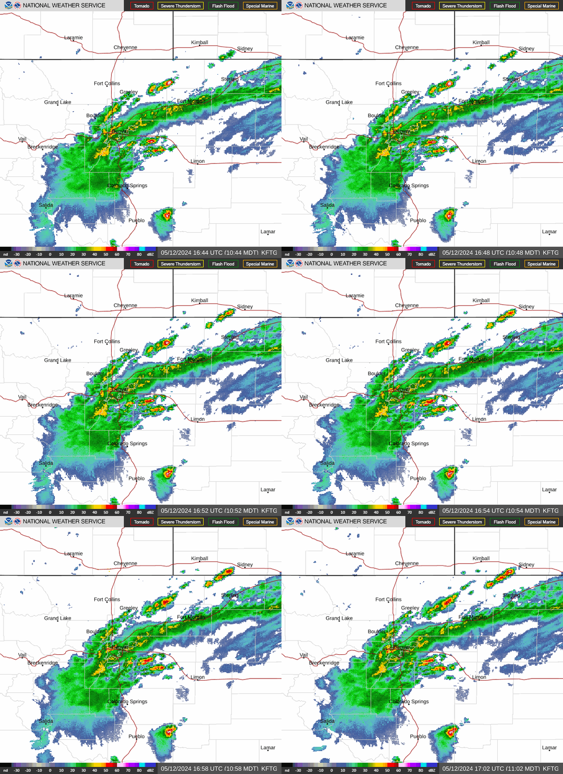
The National Weather Service in Boulder says storms will fire over the foothills and the I-25 corridor early this afternoon, then push east through the evening. Whether Wash Park, Cheesman Park, or the Highlands see anything depends on how much surface moisture sticks around near the urban corridor — if it holds, a few storms near I-25 could turn strong to severe with damaging wind gusts and even large hail, Denver’s classic hail-alley risk. Rain totals look light, generally under a tenth of an inch, but the forecast discussion flags this activity clearing our area by late evening.
Best Window To Be Outside
Morning through about 1 PM is your golden window — sunny, warm, and calm before storms develop. That’s the time for a round of golf, a bike ride on the Cherry Creek Trail, or a fishing trip to Chatfield or Cherry Creek Reservoir. Pack a crappie jig kit and a fishing sun shirt UPF 50 for sun protection on the water, since the afternoon sun before storms build can be intense.
Rain, Wind, And Hail Risk
Gusts up to 16 mph are possible with any storm today, and the NWS notes mid-level lapse rates and shear are strong enough to support isolated severe hail. If storms fire near you, get off open water, off the golf course, and out of parks quickly. Thursday brings a repeat performance — a Denver Cyclone setup with easterly winds keeping dewpoints up on the plains, favoring scattered to numerous storms with a high near 90°F and a 46% storm chance after noon.
What To Wear Or Bring
Light, breathable layers for the midday heat, sunscreen, and an insulated water jug 1 gallon to stay hydrated if you’re out working in the yard or at the ballfields this morning. Check out outdoor gear deals for warm-weather essentials, including the Plano Double-Sided Tackle Box if you’re headed to the water before storms build.
Concerts And Events This Week
Eric Church plays Red Rocks Amphitheatre tonight, July 8 — arrive early since the venue sits west toward the foothills where storms initiate first; check the sky before you head up. Jon Anderson & The Band Geeks play the Paramount Theatre downtown tonight, a safer indoor bet if storms are lingering. Sam Barber hits Red Rocks tomorrow, July 9, and the Avett Brothers follow on July 10. If you’re heading to any of these, tickets on SeatGeek or tickets on StubHub are worth checking now before they sell out.
Dinner Tonight
With sun through midday, it’s perfect grilling weather — fire up the grill for burgers, steaks, or grilled chicken with corn on the cob before storms arrive. An instant-read meat thermometer and a grill brush and scraper set make it easy to get everything cooked right. Need ingredients? You can order groceries on Amazon and have everything for tonight’s dinner delivered to your door.
Next Few Days
Thursday repeats today’s pattern with a high near 90°F and afternoon storm chances. After that, the NWS says a prolonged stretch of hot, mostly dry weather takes over starting Saturday and lasting through at least Tuesday, with thunderstorm chances dropping off. Good news for planning ahead, including the Daniel Caesar concert at Ball Arena on July 14.